Earthquake Bali Region, Indonesia
Sat, 10 Jan 2026 03:13:32 GMT
Time2 days ago
Location
-8.8383, 115.5314
Depth
114.5 KM
Event Summary
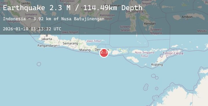
A 2.3 magnitude earthquake struck on Bali Region, Indonesia, at Sat, 10 Jan 2026 03:13:32 GMT. Depth: 114.493881km. Reviewed by BMKG seismologists, this minor quake occurred at a magnitude type of M.
Magnitude
2.3
M
Source
BMKG
Intensity
-
Agency Reports
1 Sources| Source | Magnitude | Depth | Time |
|---|---|---|---|
| BMKGPrimary | 2.3 | 114 km | 2 days ago |
Earthquake Details
AutomaticEvent IDbmg2026aqrx
Tsunami PotentialNo
Magnitude TypeM
Nearest Places
- Nusa Batujinengan3.9 km
- Nusa Batujinengan3.9 km
- Tanjung Cleng4.3 km
- Tanjung Maling4.4 km
- Tukad Katekate4.5 km
Comments
Join the discussion about this event.
Latest Earthquakes
2.7Mag
Borneo
Time2 days ago
Depth10.00 km
SourceBMKG (Automatic)
3.1Mag
NEAR EAST COAST OF HONSHU, JAPAN
Time2 days ago
Depth40.00 km
SourceJMA (Automatic)
0.3Mag
9 km WNW of Cobb, CA
Time2 days ago
Depth2.05 km
SourceUSGS (Automatic)
3.1Mag
SAN JUAN, ARGENTINA
Time2 days ago
Depth94.00 km
SourceNSNA (Automatic)
4.1Mag
DODECANESE IS.-TURKEY BORDER REG
Time2 days ago
Depth40.10 km
SourceAFAD (Automatic)