Earthquake Flores Region, Indonesia
Sat, 10 Jan 2026 08:03:08 GMT
Time2 days ago
Location
-8.7994, 120.5577
Depth
92.4 KM
Event Summary
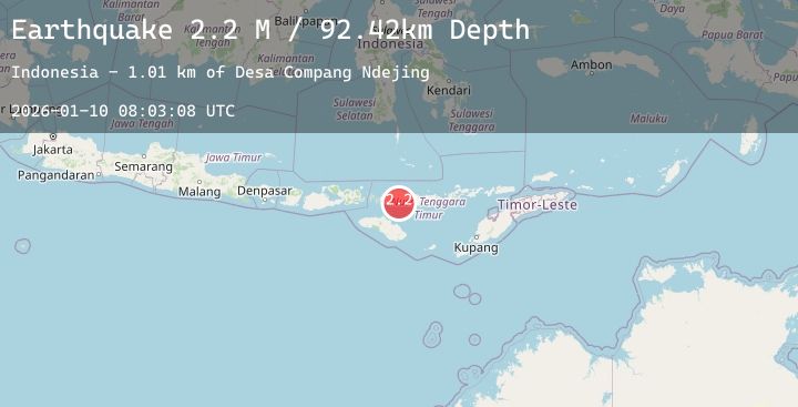
A 2.2 magnitude earthquake struck on Flores Region, Indonesia, at Sat, 10 Jan 2026 08:03:08 GMT. Depth: 92.418266km. Reviewed by BMKG seismologists, this minor quake occurred at a magnitude type of M.
Magnitude
2.2
M
Source
BMKG
Intensity
-
Agency Reports
1 Sources| Source | Magnitude | Depth | Time |
|---|---|---|---|
| BMKGPrimary | 2.2 | 92 km | 2 days ago |
Earthquake Details
AutomaticEvent IDbmg2026arbm
Tsunami PotentialNo
Magnitude TypeM
Nearest Places
- Desa Compang Ndejing1.0 km
- Desa Bea Ngencung2.1 km
- Desa Nanga Labang3.7 km
- Desa Satar Lahing3.7 km
- Desa Watu Mori4.2 km
Comments
Join the discussion about this event.
Latest Earthquakes
2.9Mag
Ceram Sea
Time2 days ago
Depth414.63 km
SourceBMKG (Automatic)
3.0Mag
Sumbawa Region, Indonesia
Time2 days ago
Depth9.65 km
SourceBMKG (Automatic)
1.3Mag
47 km NNW of Beluga, Alaska
Time2 days ago
Depth75.90 km
SourceUSGS (Automatic)
1.9Mag
WESTERN TURKEY
Time2 days ago
Depth12.20 km
SourceEMSC (Automatic)
2.5Mag
59 km E of Pedro Bay, Alaska
Time2 days ago
Depth113.60 km
SourceUSGS (Automatic)