Earthquake Southern Sumatra, Indonesia
Sat, 10 Jan 2026 15:32:29 GMT
Time1 day ago
Location
-5.8437, 102.6959
Depth
68.8 KM
Event Summary
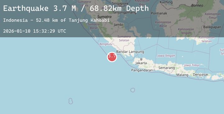
A 3.7 magnitude earthquake struck on Southern Sumatra, Indonesia, at Sat, 10 Jan 2026 15:32:29 GMT. Depth: 68.816956km. Reviewed by BMKG seismologists, this minor quake occurred at a magnitude type of M.
Magnitude
3.7
M
Source
BMKG
Intensity
-
Agency Reports
1 Sources| Source | Magnitude | Depth | Time |
|---|---|---|---|
| BMKGPrimary | 3.7 | 69 km | 1 day ago |
Earthquake Details
AutomaticEvent IDbmg2026arqh
Tsunami PotentialNo
Magnitude TypeM
Nearest Places
- Tanjung Kahoabi52.4 km
- Pulau Merbau52.9 km
- Teluk Kiowa54.4 km
- Pulau Bangkai54.4 km
- Pulaudua54.7 km
Comments
Join the discussion about this event.
Latest Earthquakes
2.6Mag
West Papua Region, Indonesia
Time1 day ago
Depth10.00 km
SourceBMKG (Automatic)
2.5Mag
ANTOFAGASTA, CHILE
Time1 day ago
Depth106.00 km
SourceCSN (Automatic)
2.4Mag
20 km ENE of Healy, Alaska
Time1 day ago
Depth114.10 km
SourceUSGS (Automatic)
3.2Mag
SOUTHERN GREECE
Time1 day ago
Depth14.60 km
SourceNOA (Automatic)
4.0Mag
OFF COAST OF OAXACA, MEXICO
Time1 day ago
Depth22.10 km
SourceUNM (Automatic)
Nearby Earthquakes
No significant earthquakes nearby recently.