Earthquake West Papua, Indonesia
Sat, 10 Jan 2026 22:14:56 GMT
Time1 day ago
Location
-3.1705, 140.6085
Depth
10.1 KM
Event Summary
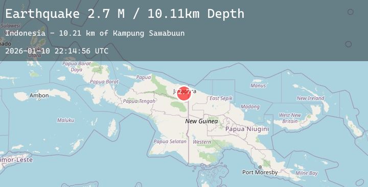
A 2.7 magnitude earthquake struck on West Papua, Indonesia, at Sat, 10 Jan 2026 22:14:56 GMT. Depth: 10.105623km. Reviewed by BMKG seismologists, this minor quake occurred at a magnitude type of M.
Magnitude
2.7
M
Source
BMKG
Intensity
-
Agency Reports
1 Sources| Source | Magnitude | Depth | Time |
|---|---|---|---|
| BMKGPrimary | 2.7 | 10 km | 1 day ago |
Earthquake Details
AutomaticEvent IDbmg2026asdo
Tsunami PotentialNo
Magnitude TypeM
Nearest Places
- Kampung Sawabuun10.2 km
- Kampung Senggi11.7 km
- Distrik Arso17.4 km
- Birnasau17.8 km
- Girara18.3 km
Comments
Join the discussion about this event.
Latest Earthquakes
3.6Mag
MINDANAO, PHILIPPINES
Time1 day ago
Depth10.00 km
SourcePIVS (Automatic)
1.0Mag
14 km SSW of Searles Valley, CA
Time1 day ago
Depth6.96 km
SourceUSGS (Automatic)
2.5Mag
WESTERN TEXAS
Time1 day ago
Depth4.60 km
SourceTX (Automatic)
0.8Mag
8 km NW of The Geysers, CA
Time1 day ago
Depth1.79 km
SourceUSGS (Automatic)
4.0Mag
LEBANON - SYRIA REGION
Time1 day ago
Depth35.00 km
SourceEMSC (Automatic)