Earthquake Tanimbar Islands Region, Indonesia
Sun, 11 Jan 2026 22:07:55 GMT
Time15 hours ago
Location
-7.2443, 130.6783
Depth
55.0 KM
Event Summary
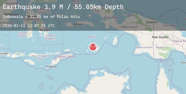
A 3.9 magnitude earthquake struck on Tanimbar Islands Region, Indonesia, at Sun, 11 Jan 2026 22:07:55 GMT. Depth: 55.048584km. Reviewed by BMKG seismologists, this minor quake occurred at a magnitude type of M.
Magnitude
3.9
M
Source
BMKG
Intensity
-
Agency Reports
1 Sources| Source | Magnitude | Depth | Time |
|---|---|---|---|
| BMKGPrimary | 3.9 | 55 km | 15 hours ago |
Earthquake Details
AutomaticEvent IDbmg2026atyv
Tsunami PotentialNo
Magnitude TypeM
Nearest Places
- Pulau Nitu31.7 km
- Tanjung Metanuan38.4 km
- Pulau Selu41.8 km
- Selat Nulen43.5 km
- Pulau Mesa45.4 km
Comments
Join the discussion about this event.
Latest Earthquakes
2.7Mag
Northern Sumatra, Indonesia
Time15 hours ago
Depth10.00 km
SourceBMKG (Automatic)
2.5Mag
Java, Indonesia
Time15 hours ago
Depth8.06 km
SourceBMKG (Automatic)
3.4Mag
South of Java, Indonesia
Time15 hours ago
Depth10.00 km
SourceBMKG (Automatic)
3.5Mag
NORTH ISLAND OF NEW ZEALAND
Time15 hours ago
Depth154.20 km
SourceGNS (Automatic)
4.0Mag
SOUTHERN PERU
Time15 hours ago
Depth130.00 km
SourceLIM (Automatic)
Nearby Earthquakes
No significant earthquakes nearby recently.