Earthquake Sunda Strait, Indonesia
Sun, 11 Jan 2026 22:50:53 GMT
Time14 hours ago
Location
-6.9527, 105.8902
Depth
76.6 KM
Event Summary
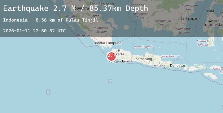
A 2.7 magnitude earthquake struck on Sunda Strait, Indonesia, at Sun, 11 Jan 2026 22:50:53 GMT. Depth: 76.629944km. Reviewed by BMKG seismologists, this minor quake occurred at a magnitude type of M.
Magnitude
2.7
M
Source
BMKG
Intensity
-
Agency Reports
1 Sources| Source | Magnitude | Depth | Time |
|---|---|---|---|
| BMKGPrimary | 2.7 | 77 km | 14 hours ago |
Earthquake Details
AutomaticEvent IDbmg2026auag
Tsunami PotentialNo
Magnitude TypeM
Nearest Places
- Pulau Tinjil10.9 km
- Tanjung Karangmalang12.1 km
- Tanjung Panto12.3 km
- Muara Binuangeun12.6 km
- Ci Binuangeun12.6 km
Comments
Join the discussion about this event.
Latest Earthquakes
1.5Mag
55 km S of Whites City, New Mexico
Time14 hours ago
Depth7.73 km
SourceUSGS (Automatic)
1.6Mag
9 km NW of Four Mile Road, Alaska
Time14 hours ago
Depth19.70 km
SourceUSGS (Automatic)
2.8Mag
ATACAMA, CHILE
Time14 hours ago
Depth77.90 km
SourceCSN (Automatic)
1.9Mag
7 km SSW of Pāhala, Hawaii
Time14 hours ago
Depth31.16 km
SourceUSGS (Automatic)
1.6Mag
20 km WSW of Dyer, Nevada
Time14 hours ago
Depth5.33 km
SourceUSGS (Automatic)