Earthquake Northern Molucca Sea
Mon, 12 Jan 2026 01:49:16 GMT
Time11 hours ago
Location
1.2091, 126.1353
Depth
27.7 KM
Event Summary
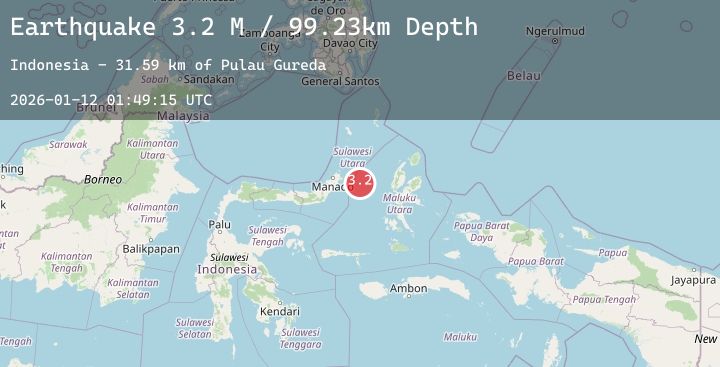
A 3.2 magnitude earthquake struck on Northern Molucca Sea, at Mon, 12 Jan 2026 01:49:16 GMT. Depth: 27.702841km. Reviewed by BMKG seismologists, this minor quake occurred at a magnitude type of M.
Magnitude
3.2
M
Source
BMKG
Intensity
-
Agency Reports
1 Sources| Source | Magnitude | Depth | Time |
|---|---|---|---|
| BMKGPrimary | 3.2 | 28 km | 11 hours ago |
Earthquake Details
AutomaticEvent IDbmg2026augd
Tsunami PotentialNo
Magnitude TypeM
Nearest Places
- Pulau Gureda24.7 km
- Kelurahan Pantai Sagu25.8 km
- Pulau Tifore26.2 km
- Kelurahan Tifure26.8 km
- Kelurahan Perum Bersatu28.1 km
Comments
Join the discussion about this event.
Latest Earthquakes
2.6Mag
ANTOFAGASTA, CHILE
Time11 hours ago
Depth118.20 km
SourceCSN (Automatic)
1.6Mag
53 km E of McCarthy, Alaska
Time11 hours ago
Depth8.60 km
SourceUSGS (Automatic)
5.6Mag
NORTHWEST OF KURIL ISLANDS
Time11 hours ago
Depth406.50 km
SourceNEIC (Automatic)
2.0Mag
WESTERN TURKEY
Time11 hours ago
Depth4.90 km
SourceKOERI (Automatic)
3.1Mag
PUERTO RICO REGION
Time11 hours ago
Depth19.70 km
SourcePR (Automatic)
Nearby Earthquakes
No significant earthquakes nearby recently.