Earthquake Northern Sumatra, Indonesia
Mon, 12 Jan 2026 08:55:56 GMT
Time18 hours ago
Location
5.2491, 96.1710
Depth
5.5 KM
Event Summary
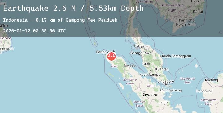
A 2.6 magnitude earthquake struck on Northern Sumatra, Indonesia, at Mon, 12 Jan 2026 08:55:56 GMT. Depth: 5.52594km. Reviewed by BMKG seismologists, this minor quake occurred at a magnitude type of M.
Magnitude
2.6
M
Source
BMKG
Intensity
-
Agency Reports
2 Sources| Source | Magnitude | Depth | Time |
|---|---|---|---|
| BMKGPrimary | 2.5 | 6 km | 18 hours ago |
| BMKGPrimary | 2.6 | 5 km | 18 hours ago |
Earthquake Details
AutomaticEvent IDbmg2026auuf
Tsunami PotentialNo
Magnitude TypeM
Nearest Places
- Gampong Mee Peuduek0.2 km
- Meuseugitme0.3 km
- Meunasah Me0.3 km
- Gampong Mesjid Peuduek0.5 km
- Meunasah Mesjid Peudeuk Baroh0.6 km
Comments
Join the discussion about this event.
Latest Earthquakes
2.2Mag
48 km NNE of Chase, Alaska
Time17 hours ago
Depth71.40 km
SourceUSGS (Automatic)
1.2Mag
3 km W of Heber, CA
Time17 hours ago
Depth10.93 km
SourceUSGS (Automatic)
1.6Mag
23 km ESE of Denali National Park, Alaska
Time18 hours ago
Depth2.90 km
SourceUSGS (Automatic)
3.3Mag
NORTH ISLAND OF NEW ZEALAND
Time18 hours ago
Depth78.50 km
SourceGNS (Automatic)
1.7Mag
4 km NE of Pāhala, Hawaii
Time18 hours ago
Depth40.79 km
SourceUSGS (Automatic)