Earthquake Philippine Islands Region
Mon, 12 Jan 2026 16:48:24 GMT
Time8 hours ago
Location
10.2272, 126.3263
Depth
79.8 KM
Event Summary
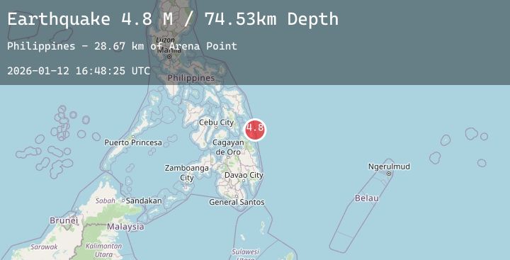
A 4.8 magnitude earthquake struck on Philippine Islands Region, at Mon, 12 Jan 2026 16:48:24 GMT. Depth: 79.80481km. Reviewed by BMKG seismologists, this light quake occurred at a magnitude type of M.
Magnitude
4.8
M
Source
BMKG
Intensity
-
Agency Reports
1 Sources| Source | Magnitude | Depth | Time |
|---|---|---|---|
| BMKGPrimary | 4.8 | 80 km | 8 hours ago |
Earthquake Details
AutomaticEvent IDbmg2026avju
Tsunami PotentialNo
Magnitude TypeM
Nearest Places
- Arena Point34.0 km
- Sugbuhan Point34.0 km
- Alegria34.0 km
- Baybay34.5 km
- Libertad35.0 km
Comments
Join the discussion about this event.
Latest Earthquakes
2.7Mag
Java, Indonesia
Time8 hours ago
Depth15.24 km
SourceBMKG (Automatic)
4.1Mag
Southwest of Sumatra, Indonesia
Time8 hours ago
Depth10.00 km
SourceBMKG (Automatic)
2.0Mag
CENTRAL CALIFORNIA
Time8 hours ago
Depth6.80 km
SourceNC (Automatic)
3.2Mag
HOKKAIDO, JAPAN REGION
Time9 hours ago
Depth0.00 km
SourceJMA (Automatic)
2.0Mag
ISLAND OF HAWAII, HAWAII
Time9 hours ago
Depth0.50 km
SourceHV (Automatic)
Nearby Earthquakes
No significant earthquakes nearby recently.