Earthquake Southern Sumatra, Indonesia
Mon, 12 Jan 2026 23:27:44 GMT
Time1 hour ago
Location
-1.8477, 101.7143
Depth
137.6 KM
Event Summary
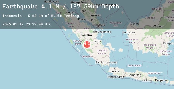
A 4.1 magnitude earthquake struck on Southern Sumatra, Indonesia, at Mon, 12 Jan 2026 23:27:44 GMT. Depth: 137.58992km. Reviewed by BMKG seismologists, this light quake occurred at a magnitude type of M.
Magnitude
4.1
M
Source
BMKG
Intensity
-
Agency Reports
1 Sources| Source | Magnitude | Depth | Time |
|---|---|---|---|
| BMKGPrimary | 4.1 | 138 km | 1 hour ago |
Earthquake Details
AutomaticEvent IDbmg2026avwz
Tsunami PotentialNo
Magnitude TypeM
Nearest Places
- Bukit Temiang5.7 km
- Serik Belarik6.2 km
- Batang Pelepat Kecil7.3 km
- Batang Ulas Kiri8.4 km
- Batang Ulas Kanan8.4 km
Comments
Join the discussion about this event.
Latest Earthquakes
1.0Mag
6 km NW of The Geysers, CA
Time1 hour ago
Depth2.63 km
SourceUSGS (Automatic)
2.9Mag
Southern Sumatra, Indonesia
Time1 hour ago
Depth56.71 km
SourceBMKG (Automatic)
2.5Mag
Sulawesi, Indonesia
Time2 hours ago
Depth5.00 km
SourceBMKG (Automatic)
4.1Mag
TARAPACA, CHILE
Time2 hours ago
Depth92.80 km
SourceCSN (Automatic)
4.4Mag
OFF COAST OF CHIAPAS, MEXICO
Time2 hours ago
Depth12.90 km
SourceUNM (Automatic)
Nearby Earthquakes
No significant earthquakes nearby recently.