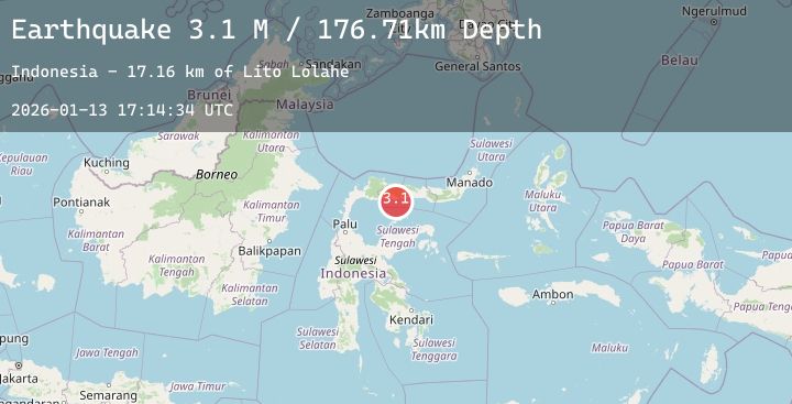
Earthquake Minahassa Peninsula, Sulawesi
Tue, 13 Jan 2026 17:14:34 GMT
Time1 day ago
Location
0.3317, 121.9044
Depth
176.7 KM
Event Summary
A 3.1 magnitude earthquake struck on Minahassa Peninsula, Sulawesi, at Tue, 13 Jan 2026 17:14:34 GMT. Depth: 176.705124km. Reviewed by BMKG seismologists, this minor quake occurred at a magnitude type of M.
Magnitude
3.1
M
Source
BMKG
Intensity
-
Agency Reports
1 Sources| Source | Magnitude | Depth | Time |
|---|---|---|---|
| BMKGPrimary | 3.1 | 177 km | 1 day ago |
Earthquake Details
AutomaticEvent IDbmg2026axge
Tsunami PotentialNo
Magnitude TypeM
Nearest Places
- Lito Lolahe10.8 km
- Sungai Paguat11.3 km
- Tanjung Bilalahuntu11.4 km
- Wulungiyo Olihidu12.0 km
- Dutula Randangan12.0 km
Comments
Join the discussion about this event.
Latest Earthquakes
1.4Mag
14 km N of Morgan Hill, CA
Time1 day ago
Depth5.07 km
SourceUSGS (Automatic)
3.7Mag
OFF E. COAST OF N. ISLAND, N.Z.
Time1 day ago
Depth140.50 km
SourceGNS (Automatic)
3.0Mag
KODIAK ISLAND REGION, ALASKA
Time1 day ago
Depth53.80 km
SourceAK (Automatic)
2.5Mag
SAN JUAN, ARGENTINA
Time1 day ago
Depth10.00 km
SourceNSNA (Automatic)
2.3Mag
Flores Region, Indonesia
Time1 day ago
Depth116.39 km
SourceBMKG (Automatic)