Earthquake Northern Sumatra, Indonesia
Tue, 13 Jan 2026 19:48:10 GMT
Time1 day ago
Location
4.0808, 95.8744
Depth
32.5 KM
Event Summary
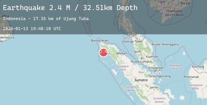
A 2.4 magnitude earthquake struck on Northern Sumatra, Indonesia, at Tue, 13 Jan 2026 19:48:10 GMT. Depth: 32.512318km. Reviewed by BMKG seismologists, this minor quake occurred at a magnitude type of M.
Magnitude
2.4
M
Source
BMKG
Intensity
-
Agency Reports
1 Sources| Source | Magnitude | Depth | Time |
|---|---|---|---|
| BMKGPrimary | 2.4 | 33 km | 1 day ago |
Earthquake Details
AutomaticEvent IDbmg2026axlg
Tsunami PotentialNo
Magnitude TypeM
Nearest Places
- Ujung Tuba20.9 km
- Lhok Timon21.1 km
- Lhok Bubon21.5 km
- Gampong Lhok Bubon21.6 km
- Suak Pandan22.1 km
Comments
Join the discussion about this event.
Latest Earthquakes
1.2Mag
FRANCE
Time1 day ago
Depth0.70 km
SourceETHZ (Automatic)
2.9Mag
South of Java, Indonesia
Time1 day ago
Depth25.53 km
SourceBMKG (Automatic)
2.2Mag
Sumbawa Region, Indonesia
Time1 day ago
Depth26.78 km
SourceBMKG (Automatic)
2.1Mag
Sumbawa Region, Indonesia
Time1 day ago
Depth185.59 km
SourceBMKG (Automatic)
3.6Mag
NEGROS- CEBU REG, PHILIPPINES
Time1 day ago
Depth10.00 km
SourcePIVS (Automatic)
Nearby Earthquakes
No significant earthquakes nearby recently.