Earthquake Southern Sumatra, Indonesia
Wed, 14 Jan 2026 01:48:14 GMT
Time1 day ago
Location
-4.2480, 103.1310
Depth
26.0 KM
Event Summary
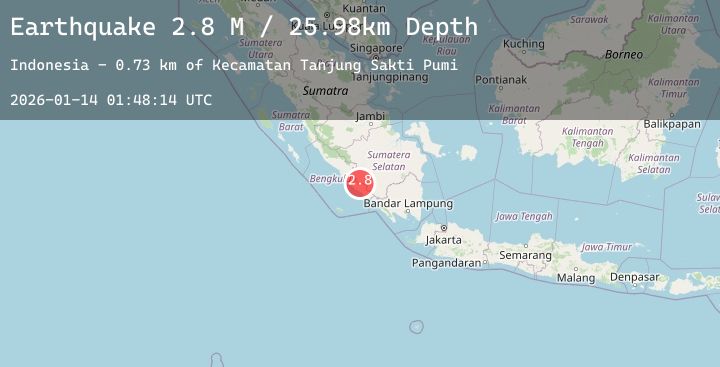
A 2.8 magnitude earthquake struck on Southern Sumatra, Indonesia, at Wed, 14 Jan 2026 01:48:14 GMT. Depth: 25.983315km. Reviewed by BMKG seismologists, this minor quake occurred at a magnitude type of M.
Magnitude
2.8
M
Source
BMKG
Intensity
-
Agency Reports
2 Sources| Source | Magnitude | Depth | Time |
|---|---|---|---|
| BMKGPrimary | 2.8 | 26 km | 1 day ago |
| BMKGPrimary | 2.8 | 26 km | 1 day ago |
Earthquake Details
AutomaticEvent IDbmg2026axxc
Tsunami PotentialNo
Magnitude TypeM
Nearest Places
- Desa Tanjung Sakti4.6 km
- Air Manaijau5.5 km
- Pulautimun5.5 km
- Bukit Rajamendara5.8 km
- Desa Pino Baru6.7 km
Comments
Join the discussion about this event.
Latest Earthquakes
2.6Mag
WESTERN TURKEY
Time1 day ago
Depth5.40 km
SourceKOERI (Automatic)
0.8Mag
NORTHERN ITALY
Time1 day ago
Depth6.80 km
SourceETHZ (Automatic)
2.9Mag
South of Java, Indonesia
Time1 day ago
Depth62.29 km
SourceBMKG (Automatic)
2.2Mag
30 km NNW of Valdez, Alaska
Time1 day ago
Depth11.90 km
SourceUSGS (Automatic)
3.4Mag
SOUTH OF ALASKA
Time1 day ago
Depth36.40 km
SourceAK (Automatic)
Nearby Earthquakes
No significant earthquakes nearby recently.