Earthquake Halmahera, Indonesia
Wed, 14 Jan 2026 18:00:29 GMT
Time12 hours ago
Location
1.9439, 127.2564
Depth
98.5 KM
Event Summary
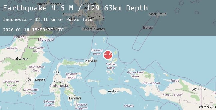
A 5.1 magnitude earthquake struck on Halmahera, Indonesia, at Wed, 14 Jan 2026 18:00:29 GMT. Depth: 98.538696km. Reviewed by BMKG seismologists, this moderate quake occurred at a magnitude type of M.
Magnitude
5.1
M
Source
BMKG
Intensity
-
Agency Reports
1 Sources| Source | Magnitude | Depth | Time |
|---|---|---|---|
| BMKGPrimary | 5.1 | 99 km | 12 hours ago |
Earthquake Details
AutomaticEvent IDbmg2026azde
Tsunami PotentialNo
Magnitude TypeM
Nearest Places
- Pulau Tutu38.4 km
- Tanjung Tutumadehe38.6 km
- Tanjung Tobadiku-mhe39.1 km
- Pulau Moreporoco39.5 km
- Pulau Tongidi39.6 km
Comments
Join the discussion about this event.
Latest Earthquakes
3.1Mag
West Papua Region, Indonesia
Time12 hours ago
Depth21.06 km
SourceBMKG (Automatic)
2.1Mag
Sumbawa Region, Indonesia
Time12 hours ago
Depth10.00 km
SourceBMKG (Automatic)
3.2Mag
MINDANAO, PHILIPPINES
Time12 hours ago
Depth15.00 km
SourcePIVS (Automatic)
2.1Mag
NORTHERN ITALY
Time12 hours ago
Depth7.50 km
SourceINGV (Automatic)
0.7Mag
8 km NW of The Geysers, CA
Time12 hours ago
Depth1.39 km
SourceUSGS (Automatic)
Nearby Earthquakes
No significant earthquakes nearby recently.