Earthquake Minahassa Peninsula, Sulawesi
Wed, 14 Jan 2026 19:22:37 GMT
Time13 hours ago
Location
-0.5733, 123.4885
Depth
10.0 KM
Event Summary
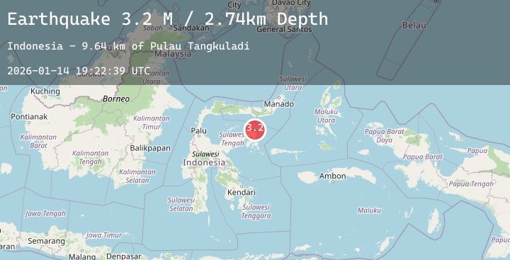
A 3.3 magnitude earthquake struck on Minahassa Peninsula, Sulawesi, at Wed, 14 Jan 2026 19:22:37 GMT. Depth: 10km. Reviewed by BMKG seismologists, this minor quake occurred at a magnitude type of M.
Magnitude
3.3
M
Source
BMKG
Intensity
-
Agency Reports
1 Sources| Source | Magnitude | Depth | Time |
|---|---|---|---|
| BMKGPrimary | 3.3 | 10 km | 13 hours ago |
Earthquake Details
AutomaticEvent IDbmg2026azfx
Tsunami PotentialNo
Magnitude TypeM
Nearest Places
- Tanjung Lonsuit12.6 km
- Tanjung Lonsom13.1 km
- Pulau Kosamba14.3 km
- Teluk Pangkalaseang14.8 km
- Pulau Toosan15.3 km
Comments
Join the discussion about this event.
Latest Earthquakes
2.0Mag
ISLAND OF HAWAII, HAWAII
Time13 hours ago
Depth-1.80 km
SourceHV (Automatic)
3.7Mag
West Papua Region, Indonesia
Time13 hours ago
Depth14.61 km
SourceBMKG (Automatic)
2.6Mag
OFFSHORE MAULE, CHILE
Time13 hours ago
Depth39.70 km
SourceCSN (Automatic)
0.6Mag
8 km NW of The Geysers, CA
Time13 hours ago
Depth1.61 km
SourceUSGS (Automatic)
3.4Mag
ANTOFAGASTA, CHILE
Time13 hours ago
Depth130.00 km
SourceCSN (Automatic)
Nearby Earthquakes
No significant earthquakes nearby recently.