Earthquake West Papua Region, Indonesia
Thu, 15 Jan 2026 04:32:38 GMT
Time5 hours ago
Location
-2.9027, 136.3067
Depth
77.0 KM
Event Summary
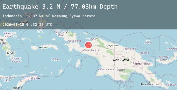
A 3.2 magnitude earthquake struck on West Papua Region, Indonesia, at Thu, 15 Jan 2026 04:32:38 GMT. Depth: 77.028381km. Reviewed by BMKG seismologists, this minor quake occurred at a magnitude type of M.
Magnitude
3.2
M
Source
BMKG
Intensity
-
Agency Reports
1 Sources| Source | Magnitude | Depth | Time |
|---|---|---|---|
| BMKGPrimary | 3.2 | 77 km | 5 hours ago |
Earthquake Details
AutomaticEvent IDbmg2026azya
Tsunami PotentialNo
Magnitude TypeM
Nearest Places
- Kampung Syewa Merare2.1 km
- Kampung Dokis6.6 km
- Kampung Kamarisano10.0 km
- Kampung Kamarisano11.0 km
- Amewa11.2 km
Comments
Join the discussion about this event.
Latest Earthquakes
2.1Mag
Flores Region, Indonesia
Time5 hours ago
Depth2.17 km
SourceBMKG (Automatic)
0.7Mag
9 km ENE of Villa Park, CA
Time5 hours ago
Depth7.47 km
SourceUSGS (Automatic)
3.0Mag
TARAPACA, CHILE
Time5 hours ago
Depth105.80 km
SourceCSN (Automatic)
1.7Mag
12 km SW of Salton City, CA
Time5 hours ago
Depth3.36 km
SourceUSGS (Automatic)
2.6Mag
Ceram Sea
Time5 hours ago
Depth11.54 km
SourceBMKG (Automatic)