Earthquake West Papua, Indonesia
Thu, 15 Jan 2026 06:17:43 GMT
Time8 hours ago
Location
-2.6093, 138.0528
Depth
101.0 KM
Event Summary
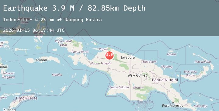
A 4.2 magnitude earthquake struck on West Papua, Indonesia, at Thu, 15 Jan 2026 06:17:43 GMT. Depth: 100.972786km. Reviewed by BMKG seismologists, this light quake occurred at a magnitude type of M.
Magnitude
4.2
M
Source
BMKG
Intensity
-
Agency Reports
1 Sources| Source | Magnitude | Depth | Time |
|---|---|---|---|
| BMKGPrimary | 4.2 | 101 km | 8 hours ago |
Earthquake Details
AutomaticEvent IDbmg2026babn
Tsunami PotentialNo
Magnitude TypeM
Nearest Places
- Kampung Kustra8.7 km
- Pegunungan Van Rees11.8 km
- Kampung Eri13.3 km
- Distrik Mamberamo Tengah Timur16.3 km
- Kampung Danau Bira19.9 km
Comments
Join the discussion about this event.
Latest Earthquakes
1.4Mag
23 km SE of Chickaloon, Alaska
Time8 hours ago
Depth20.50 km
SourceUSGS (Automatic)
2.1Mag
CENTRAL CALIFORNIA
Time8 hours ago
Depth-0.70 km
SourceNC (Automatic)
2.2Mag
Sulawesi, Indonesia
Time8 hours ago
Depth10.00 km
SourceBMKG (Automatic)
1.5Mag
58 km N of Petersville, Alaska
Time8 hours ago
Depth107.80 km
SourceUSGS (Automatic)
5.1Mag
EASTERN HONSHU, JAPAN
Time8 hours ago
Depth0.00 km
SourceJMA (Automatic)
Nearby Earthquakes
No significant earthquakes nearby recently.