Earthquake Bali Region, Indonesia
Thu, 15 Jan 2026 20:03:03 GMT
Time3 hours ago
Location
-8.5462, 115.4734
Depth
82.9 KM
Event Summary
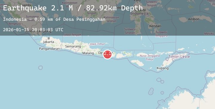
A 2.1 magnitude earthquake struck on Bali Region, Indonesia, at Thu, 15 Jan 2026 20:03:03 GMT. Depth: 82.921028km. Reviewed by BMKG seismologists, this minor quake occurred at a magnitude type of M.
Magnitude
2.1
M
Source
BMKG
Intensity
-
Agency Reports
1 Sources| Source | Magnitude | Depth | Time |
|---|---|---|---|
| BMKGPrimary | 2.1 | 83 km | 3 hours ago |
Earthquake Details
AutomaticEvent IDbmg2026bbcs
Tsunami PotentialNo
Magnitude TypeM
Nearest Places
- Desa Pesinggahan0.6 km
- Banjar Sangluh0.9 km
- Munduk Tengah0.9 km
- Munduk Munting1.2 km
- Banjar Sukahati1.2 km
Comments
Join the discussion about this event.
Latest Earthquakes
2.0Mag
Sumbawa Region, Indonesia
Time3 hours ago
Depth26.94 km
SourceBMKG (Automatic)
1.6Mag
10 km NNE of Talmage, CA
Time3 hours ago
Depth0.67 km
SourceUSGS (Automatic)
3.2Mag
COQUIMBO, CHILE
Time3 hours ago
Depth59.40 km
SourceCSN (Automatic)
2.1Mag
Java, Indonesia
Time3 hours ago
Depth27.93 km
SourceBMKG (Automatic)
2.3Mag
WESTERN TEXAS
Time3 hours ago
Depth4.20 km
SourceTX (Automatic)
Nearby Earthquakes
No significant earthquakes nearby recently.