Earthquake West Papua Region, Indonesia
Fri, 16 Jan 2026 00:32:51 GMT
Time3 hours ago
Location
-3.6327, 133.6985
Depth
10.0 KM
Event Summary
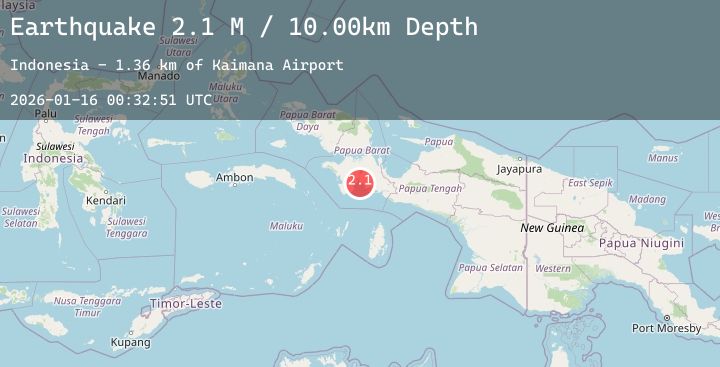
A 2.1 magnitude earthquake struck on West Papua Region, Indonesia, at Fri, 16 Jan 2026 00:32:51 GMT. Depth: 10km. Reviewed by BMKG seismologists, this minor quake occurred at a magnitude type of M.
Magnitude
2.1
M
Source
BMKG
Intensity
-
Agency Reports
1 Sources| Source | Magnitude | Depth | Time |
|---|---|---|---|
| BMKGPrimary | 2.1 | 10 km | 3 hours ago |
Earthquake Details
AutomaticEvent IDbmg2026bblq
Tsunami PotentialNo
Magnitude TypeM
Nearest Places
- Kaimana Airport1.4 km
- Rome1.6 km
- Kampung Trikora1.9 km
- Matua1.9 km
- Airtiba1.9 km
Comments
Join the discussion about this event.
Latest Earthquakes
0.7Mag
23 km ENE of Minto, Alaska
Time3 hours ago
Depth5.00 km
SourceUSGS (Automatic)
2.5Mag
Minahassa Peninsula, Sulawesi
Time3 hours ago
Depth67.94 km
SourceBMKG (Automatic)
4.3Mag
TAIWAN
Time3 hours ago
Depth51.70 km
SourceCWB (Automatic)
5.1Mag
Halmahera, Indonesia
Time3 hours ago
Depth99.09 km
SourceBMKG (Automatic)
1.5Mag
5 km W of Walker, California
Time4 hours ago
Depth5.44 km
SourceUSGS
Nearby Earthquakes
No significant earthquakes nearby recently.