Earthquake West Papua Region, Indonesia
Fri, 16 Jan 2026 08:10:20 GMT
Time2 hours ago
Location
-1.3844, 134.1429
Depth
14.5 KM
Event Summary
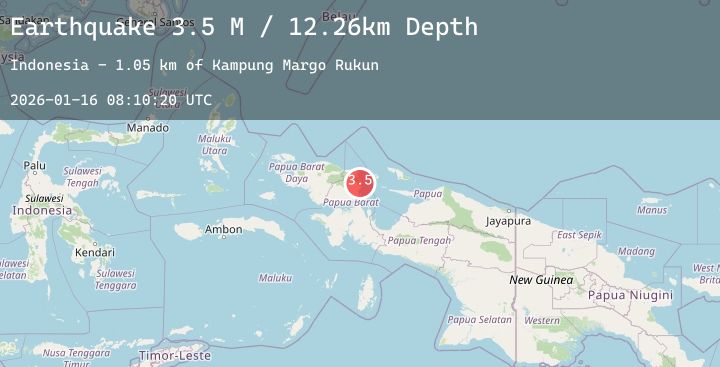
A 3.5 magnitude earthquake struck on West Papua Region, Indonesia, at Fri, 16 Jan 2026 08:10:20 GMT. Depth: 14.523828km. Reviewed by BMKG seismologists, this minor quake occurred at a magnitude type of M.
Magnitude
3.5
M
Source
BMKG
Intensity
-
Agency Reports
1 Sources| Source | Magnitude | Depth | Time |
|---|---|---|---|
| BMKGPrimary | 3.5 | 15 km | 2 hours ago |
Earthquake Details
AutomaticEvent IDbmg2026bcas
Tsunami PotentialNo
Magnitude TypeM
Nearest Places
- Kampung Warkwandi4.6 km
- Kampung Margo Rukun5.3 km
- Kampung Mambrema5.5 km
- Kampung Yamboi5.5 km
- Kampung Margomulyo5.6 km
Comments
Join the discussion about this event.
Latest Earthquakes
3.1Mag
MYANMAR
Time2 hours ago
Depth10.00 km
SourceTSB (Automatic)
1.6Mag
32 km N of Searles Valley, CA
Time2 hours ago
Depth4.88 km
SourceUSGS (Automatic)
3.1Mag
SAN JUAN, ARGENTINA
Time2 hours ago
Depth108.00 km
SourceNSNA (Automatic)
2.5Mag
Flores Sea
Time2 hours ago
Depth39.36 km
SourceBMKG (Automatic)
2.1Mag
AZORES ISLANDS, PORTUGAL
Time2 hours ago
Depth5.00 km
SourcePDA (Automatic)
Nearby Earthquakes
No significant earthquakes nearby recently.