Earthquake Flores Sea
Fri, 16 Jan 2026 16:43:51 GMT
Time2 hours ago
Location
-7.9152, 122.8235
Depth
177.4 KM
Event Summary
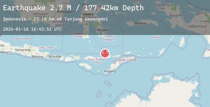
A 2.7 magnitude earthquake struck on Flores Sea, at Fri, 16 Jan 2026 16:43:51 GMT. Depth: 177.42009km. Reviewed by BMKG seismologists, this minor quake occurred at a magnitude type of M.
Magnitude
2.7
M
Source
BMKG
Intensity
-
Agency Reports
1 Sources| Source | Magnitude | Depth | Time |
|---|---|---|---|
| BMKGPrimary | 2.7 | 177 km | 2 hours ago |
Earthquake Details
AutomaticEvent IDbmg2026bcrr
Tsunami PotentialNo
Magnitude TypeM
Nearest Places
- Tanjung Kopongdei17.2 km
- Tanjung Horung17.4 km
- Ile Kebokongtobo17.7 km
- Teluk Blou17.7 km
- Tone17.8 km
Comments
Join the discussion about this event.
Latest Earthquakes
1.8Mag
5 km NNW of Glen Avon, CA
Time2 hours ago
Depth4.03 km
SourceUSGS (Automatic)
2.9Mag
OFFSHORE GUATEMALA
Time2 hours ago
Depth24.00 km
SourceINET (Automatic)
1.4Mag
12 km ENE of Desert Hot Springs, CA
Time2 hours ago
Depth5.81 km
SourceUSGS (Automatic)
3.2Mag
OFF E. COAST OF N. ISLAND, N.Z.
Time2 hours ago
Depth5.00 km
SourceGNS (Automatic)
1.2Mag
WESTERN TURKEY
Time2 hours ago
Depth8.50 km
SourceAFAD (Automatic)
Nearby Earthquakes
No significant earthquakes nearby recently.