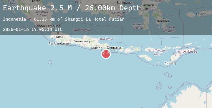
Earthquake South of Bali, Indonesia
Fri, 16 Jan 2026 17:05:13 GMT
Time2 hours ago
Location
-9.3707, 114.0288
Depth
33.3 KM
Event Summary
A 2.2 magnitude earthquake struck on South of Bali, Indonesia, at Fri, 16 Jan 2026 17:05:13 GMT. Depth: 33.252594km. Reviewed by BMKG seismologists, this minor quake occurred at a magnitude type of M.
Magnitude
2.2
M
Source
BMKG
Intensity
-
Agency Reports
1 Sources| Source | Magnitude | Depth | Time |
|---|---|---|---|
| BMKGPrimary | 2.2 | 33 km | 2 hours ago |
Earthquake Details
AutomaticEvent IDbmg2026bcsj
Tsunami PotentialNo
Magnitude TypeM
Nearest Places
- Kali Bindo70.3 km
- Shangri-La Hotel Futian71.6 km
- Holiday Inn Express Luohu72.1 km
- Best Western Shenzhen Felicity72.1 km
- Gs International Hotel72.2 km
Comments
Join the discussion about this event.
Latest Earthquakes
2.1Mag
WESTERN TEXAS
Time2 hours ago
Depth5.40 km
SourceTX (Automatic)
2.0Mag
50 km SSW of South Van Horn, Alaska
Time2 hours ago
Depth0.40 km
SourceUSGS (Automatic)
1.7Mag
42 km NW of Toyah, Texas
Time2 hours ago
Depth4.28 km
SourceUSGS (Automatic)
2.2Mag
REPUBLIC OF NORTH MACEDONIA
Time2 hours ago
Depth15.00 km
SourceIGEO (Automatic)
1.8Mag
11 km ESE of Willits, CA
Time2 hours ago
Depth6.40 km
SourceUSGS (Automatic)
Nearby Earthquakes
No significant earthquakes nearby recently.