Earthquake Southern Sumatra, Indonesia
Fri, 16 Jan 2026 17:33:31 GMT
Time2 hours ago
Location
-1.4022, 100.3470
Depth
69.1 KM
Event Summary
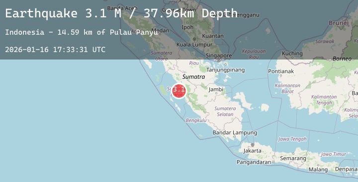
A 3.3 magnitude earthquake struck on Southern Sumatra, Indonesia, at Fri, 16 Jan 2026 17:33:31 GMT. Depth: 69.051193km. Reviewed by BMKG seismologists, this minor quake occurred at a magnitude type of M.
Magnitude
3.3
M
Source
BMKG
Intensity
-
Agency Reports
1 Sources| Source | Magnitude | Depth | Time |
|---|---|---|---|
| BMKGPrimary | 3.3 | 69 km | 2 hours ago |
Earthquake Details
AutomaticEvent IDbmg2026bcth
Tsunami PotentialNo
Magnitude TypeM
Nearest Places
- Pulau Kumbang13.6 km
- Pulau Nibung15.4 km
- Pulau Aurgadang15.6 km
- rantaukasai15.6 km
- Pulau Panyu15.8 km
Comments
Join the discussion about this event.
Latest Earthquakes
2.2Mag
Flores Region, Indonesia
Time2 hours ago
Depth84.07 km
SourceBMKG (Automatic)
2.5Mag
Seram, Indonesia
Time2 hours ago
Depth19.26 km
SourceBMKG (Automatic)
2.9Mag
OFFSHORE BIO-BIO, CHILE
Time3 hours ago
Depth26.60 km
SourceCSN (Automatic)
2.8Mag
Sumba Region, Indonesia
Time3 hours ago
Depth10.00 km
SourceBMKG (Automatic)
2.7Mag
Sumbawa Region, Indonesia
Time3 hours ago
Depth25.76 km
SourceBMKG (Automatic)
Nearby Earthquakes
No significant earthquakes nearby recently.