Earthquake Near North Coast of West Papua
Fri, 16 Jan 2026 21:35:59 GMT
Time4 hours ago
Location
-2.0518, 140.2455
Depth
10.0 KM
Event Summary
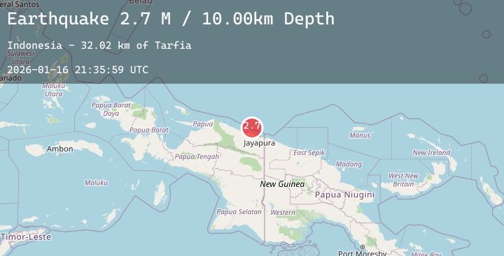
A 2.7 magnitude earthquake struck on Near North Coast of West Papua, at Fri, 16 Jan 2026 21:35:59 GMT. Depth: 10km. Reviewed by BMKG seismologists, this minor quake occurred at a magnitude type of M.
Magnitude
2.7
M
Source
BMKG
Intensity
-
Agency Reports
1 Sources| Source | Magnitude | Depth | Time |
|---|---|---|---|
| BMKGPrimary | 2.7 | 10 km | 4 hours ago |
Earthquake Details
AutomaticEvent IDbmg2026bdbh
Tsunami PotentialNo
Magnitude TypeM
Nearest Places
- Tarfia32.0 km
- Tanjung Korongwan32.3 km
- Pulau Besar33.0 km
- Tanjung Kamadara33.2 km
- Kampung Yougapsa33.5 km
Comments
Join the discussion about this event.
Latest Earthquakes
2.1Mag
WESTERN TURKEY
Time4 hours ago
Depth10.40 km
SourceKOERI (Automatic)
3.9Mag
ECUADOR
Time4 hours ago
Depth5.00 km
SourceQUI (Automatic)
2.6Mag
ROMANIA
Time4 hours ago
Depth113.20 km
SourceNIEP (Automatic)
1.0Mag
10 km SSE of Hemet, CA
Time4 hours ago
Depth11.95 km
SourceUSGS (Automatic)
2.6Mag
CENTRAL CALIFORNIA
Time4 hours ago
Depth8.40 km
SourceNC (Automatic)