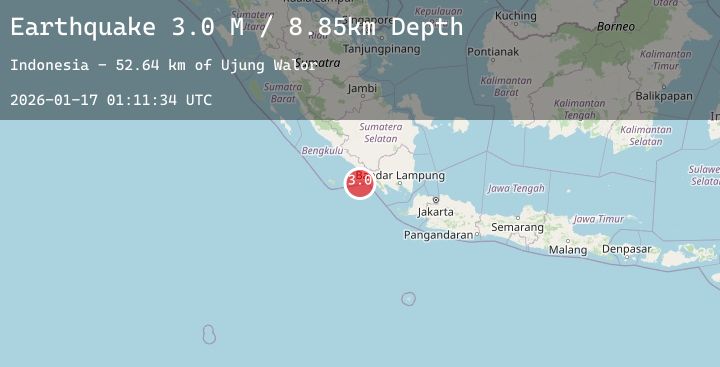
Earthquake Southern Sumatra, Indonesia
Sat, 17 Jan 2026 01:11:33 GMT
Time2 hours ago
Location
-5.4742, 103.4584
Depth
9.9 KM
Event Summary
A 3.1 magnitude earthquake struck on Southern Sumatra, Indonesia, at Sat, 17 Jan 2026 01:11:33 GMT. Depth: 9.916946km. Reviewed by BMKG seismologists, this minor quake occurred at a magnitude type of M.
Magnitude
3.1
M
Source
BMKG
Intensity
-
Agency Reports
2 Sources| Source | Magnitude | Depth | Time |
|---|---|---|---|
| BMKGPrimary | 3.0 | 10 km | 2 hours ago |
| BMKGPrimary | 3.1 | 12 km | 2 hours ago |
Earthquake Details
AutomaticEvent IDbmg2026bdik
Tsunami PotentialNo
Magnitude TypeM
Nearest Places
- Ujung Walor56.9 km
- Desa Walur57.4 km
- Walur57.6 km
- Desa Suka Jadi57.6 km
- Padangnegeri57.8 km
Comments
Join the discussion about this event.
Latest Earthquakes
1.3Mag
CENTRAL TURKEY
Time2 hours ago
Depth7.30 km
SourceAFAD (Automatic)
1.2Mag
CENTRAL TURKEY
Time2 hours ago
Depth3.50 km
SourceEMSC (Automatic)
2.3Mag
Sulawesi, Indonesia
Time3 hours ago
Depth3.47 km
SourceBMKG (Automatic)
2.1Mag
14 km W of Petersville, Alaska
Time3 hours ago
Depth72.80 km
SourceUSGS (Automatic)
0.7Mag
6 km WNW of Cobb, CA
Time3 hours ago
Depth1.81 km
SourceUSGS (Automatic)
Nearby Earthquakes
No significant earthquakes nearby recently.