Earthquake Banda Sea
Wed, 21 Jan 2026 14:43:50 GMT
Time5 days ago
Location
-5.3224, 129.9569
Depth
217.0 KM
Event Summary
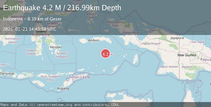
A 4.2 magnitude earthquake struck on Banda Sea, at Wed, 21 Jan 2026 14:43:50 GMT. Depth: 216.992691km. Reviewed by BMKG seismologists, this light quake occurred at a magnitude type of M.
Magnitude
4.2
M
Source
BMKG
Intensity
-
Agency Reports
1 Sources| Source | Magnitude | Depth | Time |
|---|---|---|---|
| BMKGPrimary | 4.2 | 217 km | 5 days ago |
Earthquake Details
AutomaticEvent IDbmg2026blrf
Tsunami PotentialNo
Magnitude TypeM
Nearest Places
- Pulau Manuk45.7 km
- Karang Hatta77.2 km
- Tanjung Buton80.1 km
- Desa Pulau Hatta81.7 km
- Pulau Hatta81.8 km
Comments
Join the discussion about this event.
Latest Earthquakes
2.6Mag
Minahassa Peninsula, Sulawesi
Time13 hours ago
Depth118.00 km
SourceBMKG (Automatic)
2.8Mag
South of Bali, Indonesia
Time13 hours ago
Depth10.00 km
SourceBMKG (Automatic)
1.7Mag
31 km SE of Denali National Park, Alaska
Time13 hours ago
Depth0.60 km
SourceUSGS (Automatic)
2.2Mag
WESTERN TURKEY
Time13 hours ago
Depth14.90 km
SourceKOERI (Automatic)
2.2Mag
13 km NW of Ferry, Alaska
Time13 hours ago
Depth139.50 km
SourceUSGS (Automatic)
Nearby Earthquakes
3.4Mag
Banda Sea
Time23 hours ago
Depth356.25 km
SourceBMKG (Automatic)
3.2Mag
Banda Sea
Time1 day ago
Depth214.49 km
SourceBMKG (Automatic)
3.2Mag
Banda Sea
Time1 day ago
Depth172.05 km
SourceBMKG (Automatic)
3.8Mag
Banda Sea
Time1 day ago
Depth164.97 km
SourceBMKG (Automatic)
4.1Mag
Banda Sea
Time4 days ago
Depth170.70 km
SourceBMKG (Automatic)