Earthquake Flores Region, Indonesia
Thu, 22 Jan 2026 21:25:51 GMT
Time4 days ago
Location
-8.4155, 121.9859
Depth
21.0 KM
Event Summary
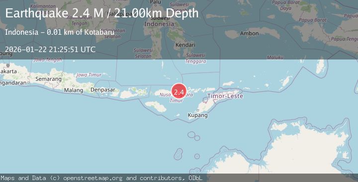
A 2.4 magnitude earthquake struck on Flores Region, Indonesia, at Thu, 22 Jan 2026 21:25:51 GMT. Depth: 20.999966km. Reviewed by BMKG seismologists, this minor quake occurred at a magnitude type of M.
Magnitude
2.4
M
Source
BMKG
Intensity
-
Agency Reports
1 Sources| Source | Magnitude | Depth | Time |
|---|---|---|---|
| BMKGPrimary | 2.4 | 21 km | 4 days ago |
Earthquake Details
AutomaticEvent IDbmg2026bnzz
Tsunami PotentialNo
Magnitude TypeM
Nearest Places
- Tanjung Batuboga2.9 km
- Tanjung Watumanu5.3 km
- Tanjung Watumanuk5.6 km
- Desa Kotabaru7.2 km
- Desa Neotonda8.6 km
Comments
Join the discussion about this event.
Latest Earthquakes
2.0Mag
52 km SSE of Denali National Park, Alaska
Time7 minutes ago
Depth5.00 km
SourceUSGS (Automatic)
1.6Mag
11 km W of Pine Valley, CA
Time9 minutes ago
Depth16.83 km
SourceUSGS (Automatic)
3.5Mag
CRETE, GREECE
Time15 minutes ago
Depth10.00 km
SourceTHE (Automatic)
2.3Mag
6 km ESE of Elgin, South Carolina
Time20 minutes ago
Depth5.00 km
SourceUSGS
1.6Mag
86 km NNW of Karluk, Alaska
Time27 minutes ago
Depth5.00 km
SourceUSGS (Automatic)
Nearby Earthquakes
3.1Mag
Flores Region, Indonesia
Time1 day ago
Depth1.78 km
SourceBMKG (Automatic)
2.9Mag
Flores Sea
Time2 days ago
Depth36.13 km
SourceBMKG (Automatic)
3.0Mag
Flores Region, Indonesia
Time5 days ago
Depth84.08 km
SourceBMKG (Automatic)
2.4Mag
Flores Sea
Time1 day ago
Depth26.09 km
SourceBMKG (Automatic)
2.2Mag
Savu Sea
Time2 hours ago
Depth56.18 km
SourceBMKG (Automatic)