Earthquake Northern Sumatra, Indonesia
Sun, 25 Jan 2026 11:37:42 GMT
Time2 days ago
Location
4.1020, 95.9776
Depth
30.8 KM
Event Summary
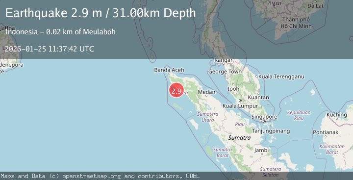
A 2.9 magnitude earthquake struck on Northern Sumatra, Indonesia, at Sun, 25 Jan 2026 11:37:42 GMT. Depth: 30.750929km. Reviewed by BMKG seismologists, this minor quake occurred at a magnitude type of M.
Magnitude
2.9
M
Source
BMKG
Intensity
-
Agency Reports
1 Sources| Source | Magnitude | Depth | Time |
|---|---|---|---|
| BMKGPrimary | 2.9 | 31 km | 2 days ago |
Earthquake Details
AutomaticEvent IDbmg2026bstc
Tsunami PotentialNo
Magnitude TypeM
Nearest Places
- Ujung Tuba11.4 km
- Lhok Bubon12.2 km
- Gampong Lhok Bubon12.3 km
- Lhok Timon12.4 km
- Suak Padan12.7 km
Comments
Join the discussion about this event.
Latest Earthquakes
4.4Mag
Sulawesi, Indonesia
Time18 hours ago
Depth5.00 km
SourceBMKG (Automatic)
2.6Mag
Minahassa Peninsula, Sulawesi
Time18 hours ago
Depth118.00 km
SourceBMKG (Automatic)
2.8Mag
South of Bali, Indonesia
Time18 hours ago
Depth10.00 km
SourceBMKG (Automatic)
1.7Mag
31 km SE of Denali National Park, Alaska
Time18 hours ago
Depth0.60 km
SourceUSGS (Automatic)
2.2Mag
WESTERN TURKEY
Time18 hours ago
Depth14.90 km
SourceKOERI (Automatic)
Nearby Earthquakes
2.3Mag
Northern Sumatra, Indonesia
Time4 days ago
Depth49.78 km
SourceBMKG (Automatic)
2.5Mag
Northern Sumatra, Indonesia
Time2 days ago
Depth10.00 km
SourceBMKG (Automatic)
2.1Mag
Northern Sumatra, Indonesia
Time4 days ago
Depth8.15 km
SourceBMKG (Automatic)
2.1Mag
Northern Sumatra, Indonesia
Time3 days ago
Depth4.51 km
SourceBMKG (Automatic)
2.6Mag
Northern Sumatra, Indonesia
Time4 days ago
Depth10.00 km
SourceBMKG (Automatic)