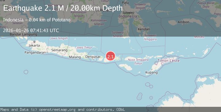
Earthquake Sumbawa Region, Indonesia
Mon, 26 Jan 2026 07:41:43 GMT
Time1 day ago
Location
-8.2252, 117.7628
Depth
20.0 KM
Event Summary
A 2.1 magnitude earthquake struck on Sumbawa Region, Indonesia, at Mon, 26 Jan 2026 07:41:43 GMT. Depth: 19.998104km. Reviewed by BMKG seismologists, this minor quake occurred at a magnitude type of M.
Magnitude
2.1
M
Source
BMKG
Intensity
-
Agency Reports
1 Sources| Source | Magnitude | Depth | Time |
|---|---|---|---|
| BMKGPrimary | 2.1 | 20 km | 1 day ago |
Earthquake Details
AutomaticEvent IDbmg2026bugv
Tsunami PotentialNo
Magnitude TypeM
Nearest Places
- Papekat1.0 km
- Doro Kadindi1.8 km
- Doro Kedindi1.9 km
- Doro Batu2.1 km
- Desa Pekat2.9 km
Comments
Join the discussion about this event.
Latest Earthquakes
1.2Mag
6 km NNW of The Geysers, CA
Time1 hour ago
Depth2.61 km
SourceUSGS (Automatic)
2.3Mag
ISLAND OF HAWAII, HAWAII
Time1 hour ago
Depth29.60 km
SourceHV (Automatic)
2.3Mag
3 km SW of Pāhala, Hawaii
Time1 hour ago
Depth29.59 km
SourceUSGS (Automatic)
1.1Mag
13 km NE of Big Bear City, CA
Time1 hour ago
Depth3.01 km
SourceUSGS (Automatic)
2.7Mag
Bali Sea
Time1 hour ago
Depth22.23 km
SourceBMKG (Automatic)
Nearby Earthquakes
2.4Mag
Sumbawa Region, Indonesia
Time3 days ago
Depth20.76 km
SourceBMKG (Automatic)
2.2Mag
Sumbawa Region, Indonesia
Time1 day ago
Depth10.00 km
SourceBMKG (Automatic)
2.1Mag
Sumbawa Region, Indonesia
Time4 hours ago
Depth31.94 km
SourceBMKG (Automatic)
2.3Mag
Sumbawa Region, Indonesia
Time1 day ago
Depth10.00 km
SourceBMKG (Automatic)
2.2Mag
Sumbawa Region, Indonesia
Time3 days ago
Depth10.00 km
SourceBMKG (Automatic)