Earthquake Minahassa Peninsula, Sulawesi
Tue, 27 Jan 2026 12:48:58 GMT
Time4 hours ago
Location
-0.1243, 123.0028
Depth
73.8 KM
Event Summary
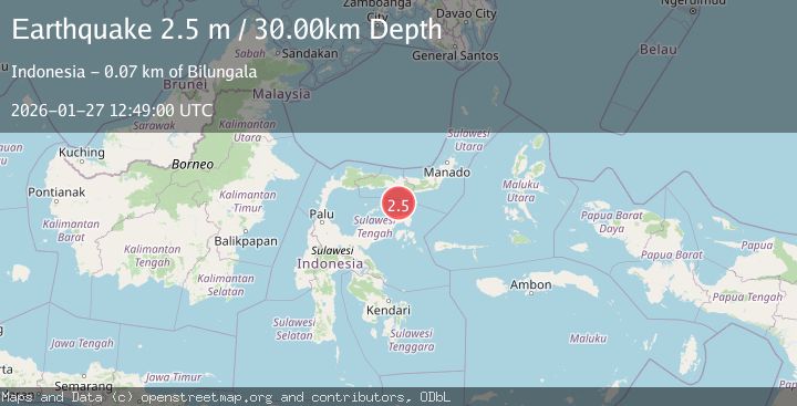
A 2.3 magnitude earthquake struck on Minahassa Peninsula, Sulawesi, at Tue, 27 Jan 2026 12:48:58 GMT. Depth: 73.7509km. Reviewed by BMKG seismologists, this minor quake occurred at a magnitude type of M.
Magnitude
2.3
M
Source
BMKG
Intensity
-
Agency Reports
1 Sources| Source | Magnitude | Depth | Time |
|---|---|---|---|
| BMKGPrimary | 2.3 | 74 km | 4 hours ago |
Earthquake Details
AutomaticEvent IDbmg2026bwml
Tsunami PotentialNo
Magnitude TypeM
Nearest Places
- Pulau Sendiri38.8 km
- Pulau Mantawalu Daka44.8 km
- Pulau Mantawalu Ise48.3 km
- Tanjung Awok49.3 km
- Tanjung Awok49.4 km
Comments
Join the discussion about this event.
Latest Earthquakes
2.9Mag
Java, Indonesia
Time4 hours ago
Depth10.00 km
SourceBMKG (Automatic)
1.0Mag
20 km NNE of Indio, CA
Time4 hours ago
Depth5.82 km
SourceUSGS (Automatic)
3.9Mag
Banda Sea
Time4 hours ago
Depth247.75 km
SourceBMKG (Automatic)
2.3Mag
4 km SSE of Toledo, Oregon
Time4 hours ago
Depth45.04 km
SourceUSGS (Automatic)
3.9Mag
OFFSHORE VALPARAISO, CHILE
Time4 hours ago
Depth53.50 km
SourceCSN (Automatic)
Nearby Earthquakes
3.2Mag
Minahassa Peninsula, Sulawesi
Time4 days ago
Depth89.10 km
SourceBMKG (Automatic)
3.9Mag
Minahassa Peninsula, Sulawesi
Time5 days ago
Depth29.89 km
SourceBMKG (Automatic)
2.8Mag
Minahassa Peninsula, Sulawesi
Time3 days ago
Depth97.44 km
SourceBMKG (Automatic)
2.6Mag
Minahassa Peninsula, Sulawesi
Time3 days ago
Depth124.69 km
SourceBMKG (Automatic)
2.4Mag
Minahassa Peninsula, Sulawesi
Time5 days ago
Depth79.94 km
SourceBMKG (Automatic)