Earthquake Sumba Region, Indonesia
Tue, 27 Jan 2026 14:27:50 GMT
Time2 hours ago
Location
-9.4338, 120.3572
Depth
64.2 KM
Event Summary
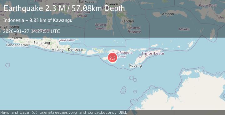
A 2.2 magnitude earthquake struck on Sumba Region, Indonesia, at Tue, 27 Jan 2026 14:27:50 GMT. Depth: 64.203354km. Reviewed by BMKG seismologists, this minor quake occurred at a magnitude type of M.
Magnitude
2.2
M
Source
BMKG
Intensity
-
Agency Reports
1 Sources| Source | Magnitude | Depth | Time |
|---|---|---|---|
| BMKGPrimary | 2.2 | 64 km | 2 hours ago |
Earthquake Details
AutomaticEvent IDbmg2026bwps
Tsunami PotentialNo
Magnitude TypeM
Nearest Places
- Luku Patekiwatutila17.5 km
- Maudulung18.3 km
- Luku Maudulung18.4 km
- Luku Ananahu18.4 km
- Luku Karuakapu18.8 km
Comments
Join the discussion about this event.
Latest Earthquakes
2.4Mag
Seram, Indonesia
Time2 hours ago
Depth10.00 km
SourceBMKG (Automatic)
3.0Mag
GREECE
Time2 hours ago
Depth10.00 km
SourceNOA (Automatic)
2.1Mag
Northern Sumatra, Indonesia
Time2 hours ago
Depth12.54 km
SourceBMKG (Automatic)
1.1Mag
7 km SE of Valle Vista, CA
Time2 hours ago
Depth15.56 km
SourceUSGS (Automatic)
4.7Mag
Southern Sumatra, Indonesia
Time2 hours ago
Depth10.00 km
SourceBMKG (Automatic)
Nearby Earthquakes
3.1Mag
Sumba Region, Indonesia
Time1 day ago
Depth7.25 km
SourceBMKG (Automatic)
2.6Mag
Sumba Region, Indonesia
Time2 days ago
Depth57.11 km
SourceBMKG (Automatic)
2.6Mag
Sumba Region, Indonesia
Time5 days ago
Depth2.09 km
SourceBMKG (Automatic)
2.2Mag
Sumba Region, Indonesia
Time5 days ago
Depth6.25 km
SourceBMKG (Automatic)
2.5Mag
Sumba Region, Indonesia
Time2 days ago
Depth65.25 km
SourceBMKG (Automatic)