Earthquake Flores Region, Indonesia
Tue, 27 Jan 2026 18:47:53 GMT
Time2 hours ago
Location
-8.9636, 119.7499
Depth
10.0 KM
Event Summary
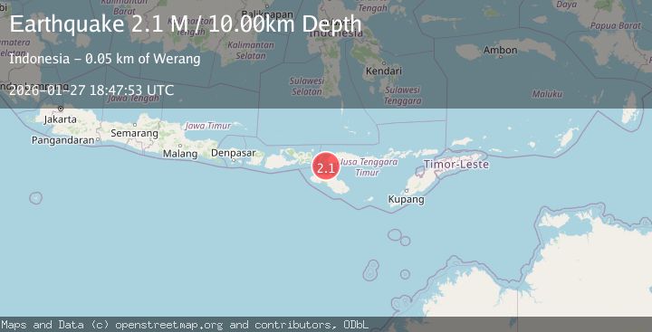
A 2.1 magnitude earthquake struck on Flores Region, Indonesia, at Tue, 27 Jan 2026 18:47:53 GMT. Depth: 10km. Reviewed by BMKG seismologists, this minor quake occurred at a magnitude type of M.
Magnitude
2.1
M
Source
BMKG
Intensity
-
Agency Reports
1 Sources| Source | Magnitude | Depth | Time |
|---|---|---|---|
| BMKGPrimary | 2.1 | 10 km | 2 hours ago |
Earthquake Details
AutomaticEvent IDbmg2026bwyi
Tsunami PotentialNo
Magnitude TypeM
Nearest Places
- Golo Motang17.5 km
- Gili Motang17.7 km
- Toro Sedo18.2 km
- Toro Lemo18.5 km
- Toro Batubasalaha18.8 km
Comments
Join the discussion about this event.
Latest Earthquakes
3.7Mag
LA RIOJA, ARGENTINA
Time2 hours ago
Depth119.00 km
SourceNSNA (Automatic)
2.2Mag
Savu Sea
Time2 hours ago
Depth56.18 km
SourceBMKG (Automatic)
0.7Mag
9 km NW of The Geysers, CA
Time2 hours ago
Depth1.51 km
SourceUSGS (Automatic)
2.4Mag
STRAIT OF GIBRALTAR
Time2 hours ago
Depth0.00 km
SourceIGN (Automatic)
2.7Mag
TARAPACA, CHILE
Time2 hours ago
Depth93.10 km
SourceCSN (Automatic)
Nearby Earthquakes
2.9Mag
Sumba Region, Indonesia
Time16 hours ago
Depth4.58 km
SourceBMKG (Automatic)
2.2Mag
Sumba Region, Indonesia
Time1 day ago
Depth5.00 km
SourceBMKG (Automatic)
2.5Mag
Sumba Region, Indonesia
Time2 days ago
Depth65.25 km
SourceBMKG (Automatic)
2.6Mag
Sumba Region, Indonesia
Time5 days ago
Depth2.09 km
SourceBMKG (Automatic)
2.7Mag
Flores Region, Indonesia
Time2 days ago
Depth302.95 km
SourceBMKG (Automatic)