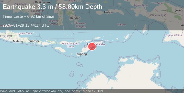
Earthquake Timor Region
Thu, 29 Jan 2026 15:02:26 GMT
Time3 hours ago
Location
-9.1979, 125.1991
Depth
116.2 KM
Event Summary
A 2.8 magnitude earthquake struck on Timor Region, at Thu, 29 Jan 2026 15:02:26 GMT. Depth: 116.164658km. Reviewed by BMKG seismologists, this minor quake occurred at a magnitude type of M.
Magnitude
2.8
M
Source
BMKG
Intensity
-
Agency Reports
1 Sources| Source | Magnitude | Depth | Time |
|---|---|---|---|
| BMKGPrimary | 2.8 | 116 km | 3 hours ago |
Earthquake Details
AutomaticEvent IDbmg2026cahw
Tsunami PotentialNo
Magnitude TypeM
Nearest Places
- Mount Nainare1.1 km
- Mount Mapele1.2 km
- Lela1.3 km
- Holpilat1.4 km
- Ager1.6 km
Comments
Join the discussion about this event.
Latest Earthquakes
1.8Mag
6 km NNW of Dibble, Oklahoma
Time3 hours ago
Depth2.52 km
SourceUSGS (Automatic)
4.4Mag
Northern Sumatra, Indonesia
Time3 hours ago
Depth10.00 km
SourceBMKG (Automatic)
2.2Mag
Sulawesi, Indonesia
Time4 hours ago
Depth5.69 km
SourceBMKG (Automatic)
2.1Mag
CENTRAL TURKEY
Time4 hours ago
Depth7.00 km
SourceAFAD (Automatic)
1.9Mag
SWITZERLAND
Time4 hours ago
Depth2.70 km
SourceETHZ (Automatic)
Nearby Earthquakes
3.1Mag
Timor Region
Time4 days ago
Depth10.00 km
SourceBMKG (Automatic)
2.7Mag
Timor Region
Time3 days ago
Depth16.38 km
SourceBMKG (Automatic)
3.0Mag
Timor Region
Time13 hours ago
Depth10.00 km
SourceBMKG (Automatic)
2.5Mag
Timor Region
Time4 days ago
Depth134.74 km
SourceBMKG (Automatic)
2.7Mag
Timor Region
Time1 week ago
Depth10.00 km
SourceBMKG (Automatic)