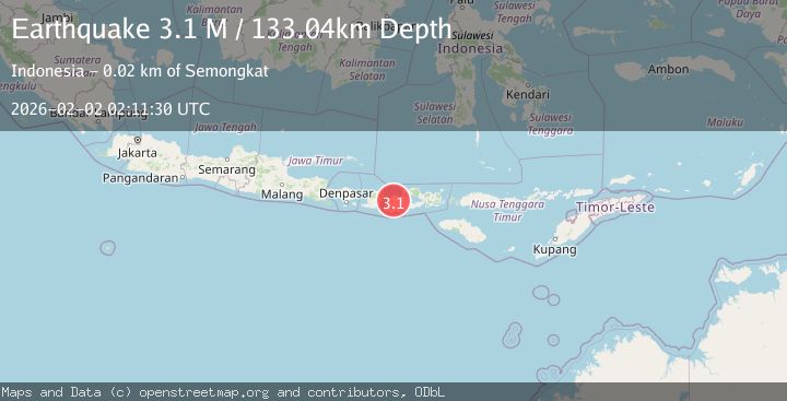
Earthquake Sumbawa Region, Indonesia
Mon, 02 Feb 2026 01:40:05 GMT
Time20 hours ago
Location
-8.0754, 117.6976
Depth
10.0 KM
Event Summary
A 2.4 magnitude earthquake struck on Sumbawa Region, Indonesia, at Mon, 02 Feb 2026 01:40:05 GMT. Depth: 10km. Reviewed by BMKG seismologists, this minor quake occurred at a magnitude type of M.
Magnitude
2.4
M
Source
BMKG
Intensity
-
Agency Reports
1 Sources| Source | Magnitude | Depth | Time |
|---|---|---|---|
| BMKGPrimary | 2.4 | 10 km | 20 hours ago |
Earthquake Details
AutomaticEvent IDbmg2026cgpk
Tsunami PotentialNo
Magnitude TypeM
Nearest Places
- Satonda Peak6.3 km
- Pulau Satonda6.6 km
- Ndano Satonda6.9 km
- Tanjung Branti8.8 km
- Teluk Sopanda8.8 km
Comments
Join the discussion about this event.
Latest Earthquakes
0.7Mag
5 km WNW of Cobb, CA
Time20 hours ago
Depth2.52 km
SourceUSGS (Automatic)
2.7Mag
AEGEAN SEA
Time20 hours ago
Depth12.40 km
SourceKOERI (Automatic)
2.0Mag
WESTERN TURKEY
Time20 hours ago
Depth16.80 km
SourceAFAD (Automatic)
2.0Mag
9 km SE of Malibu, CA
Time20 hours ago
Depth12.52 km
SourceUSGS (Automatic)
2.7Mag
Flores Region, Indonesia
Time20 hours ago
Depth8.74 km
SourceBMKG (Automatic)
Nearby Earthquakes
2.0Mag
Sumbawa Region, Indonesia
Time1 day ago
Depth24.75 km
SourceBMKG (Automatic)
2.0Mag
Sumbawa Region, Indonesia
Time1 day ago
Depth10.00 km
SourceBMKG (Automatic)
2.5Mag
Sumbawa Region, Indonesia
Time2 days ago
Depth16.65 km
SourceBMKG (Automatic)
2.2Mag
Sumbawa Region, Indonesia
Time1 week ago
Depth10.00 km
SourceBMKG (Automatic)
2.1Mag
Bali Sea
Time1 week ago
Depth8.11 km
SourceBMKG (Automatic)