Earthquake South of Bali, Indonesia
Tue, 03 Feb 2026 22:11:41 GMT
Time2 months ago
Location
-10.9870, 114.5449
Depth
10.0 KM
Event Summary
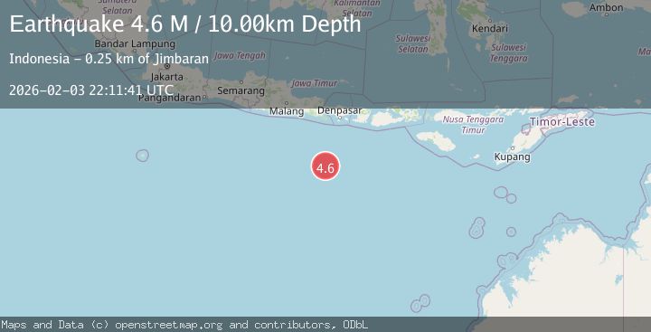
A 4.6 magnitude earthquake struck on South of Bali, Indonesia, at Tue, 03 Feb 2026 22:11:41 GMT. Depth: 10km. Reviewed by BMKG seismologists, this light quake occurred at a magnitude type of M.
Magnitude
4.6
M
Source
BMKG
Intensity
-
Agency Reports
1 Sources| Source | Magnitude | Depth | Time |
|---|---|---|---|
| BMKGPrimary | 4.6 | 10 km | 2 months ago |
Earthquake Details
AutomaticEvent IDbmg2026cjzn
QualityS
Tsunami PotentialNo
Magnitude TypeM
Last Update2 months ago
Felt Reports0
Did you feel this earthquake? Report it to help others.
No reports yet
Be the first to report this earthquake!
Latest Earthquakes
Loading...
Nearby Earthquakes
3.3Mag
South of Bali, Indonesia
Time1 week ago
Depth127.87 km
SourceBMKG
3.2Mag
South of Java, Indonesia
Time1 week ago
Depth10.00 km
SourceBMKG
4.8Mag
south of Java, Indonesia
Time1 week ago
Depth10.00 km
SourceVYT
3.8Mag
South of Java, Indonesia
Time1 week ago
Depth243.70 km
SourceBMKG
3.6Mag
SOUTH OF JAVA, INDONESIA
Time1 week ago
Depth10.00 km
SourceBMKG (Automatic)