Earthquake Talaud Islands, Indonesia
Fri, 06 Feb 2026 16:19:47 GMT
Time1 hour ago
Location
4.1733, 126.7597
Depth
19.8 KM
Event Summary
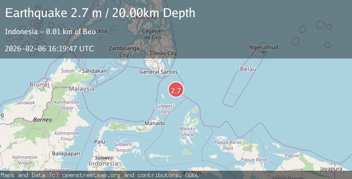
A 2.7 magnitude earthquake struck on Talaud Islands, Indonesia, at Fri, 06 Feb 2026 16:19:47 GMT. Depth: 19.83717km. Reviewed by BMKG seismologists, this minor quake occurred at a magnitude type of M.
Magnitude
2.7
M
Source
BMKG
Intensity
-
Agency Reports
1 Sources| Source | Magnitude | Depth | Time |
|---|---|---|---|
| BMKGPrimary | 2.7 | 20 km | 1 hour ago |
Earthquake Details
AutomaticEvent IDbmg2026cpal
Tsunami PotentialNo
Magnitude TypeM
Nearest Places
- Matahit0.3 km
- Desa Matahit1.4 km
- Gunung Ansarama2.7 km
- Desa Tarohan2.9 km
- Tarohan3.6 km
Comments
Join the discussion about this event.
Latest Earthquakes
2.5Mag
Savu Sea
Time1 hour ago
Depth31.49 km
SourceBMKG (Automatic)
2.4Mag
Banda Sea
Time1 hour ago
Depth5.00 km
SourceBMKG (Automatic)
1.7Mag
SPAIN
Time1 hour ago
Depth0.00 km
SourceIGN (Automatic)
2.2Mag
Sumbawa Region, Indonesia
Time1 hour ago
Depth13.36 km
SourceBMKG (Automatic)
2.4Mag
27 km ENE of Pedro Bay, Alaska
Time1 hour ago
Depth153.80 km
SourceUSGS (Automatic)
Nearby Earthquakes
3.2Mag
Talaud Islands, Indonesia
Time1 week ago
Depth10.11 km
SourceBMKG (Automatic)
2.9Mag
Talaud Islands, Indonesia
Time1 week ago
Depth39.53 km
SourceBMKG (Automatic)
3.4Mag
Talaud Islands, Indonesia
Time1 week ago
Depth24.21 km
SourceBMKG (Automatic)
3.6Mag
Talaud Islands, Indonesia
Time4 days ago
Depth4.97 km
SourceBMKG (Automatic)
3.5Mag
Talaud Islands, Indonesia
Time5 days ago
Depth2.76 km
SourceBMKG (Automatic)