Earthquake Seram, Indonesia
Sat, 07 Feb 2026 16:35:09 GMT
Time1 hour ago
Location
-3.6972, 127.3331
Depth
14.7 KM
Event Summary
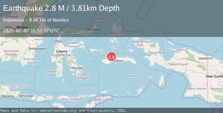
A 2.8 magnitude earthquake struck on Seram, Indonesia, at Sat, 07 Feb 2026 16:35:09 GMT. Depth: 14.721931km. Reviewed by BMKG seismologists, this minor quake occurred at a magnitude type of M.
Magnitude
2.8
M
Source
BMKG
Intensity
-
Agency Reports
1 Sources| Source | Magnitude | Depth | Time |
|---|---|---|---|
| BMKGPrimary | 2.8 | 4 km | 1 hour ago |
Earthquake Details
AutomaticEvent IDbmg2026cqwl
Tsunami PotentialNo
Magnitude TypeM
Nearest Places
- Wa Sablewa12.9 km
- Tanjung Sablewa13.0 km
- Tanjung Sorama13.3 km
- Tanjung Tapan13.7 km
- Wa Tapan13.7 km
Comments
Join the discussion about this event.
Latest Earthquakes
1.2Mag
18 km NW of Midland, Texas
Time10 minutes ago
Depth8.10 km
SourceUSGS (Automatic)
3.7Mag
MYANMAR
Time13 minutes ago
Depth163.40 km
SourceNDI (Automatic)
0.9Mag
7 km SSW of Tres Pinos, CA
Time14 minutes ago
Depth7.11 km
SourceUSGS (Automatic)
2.0Mag
7 km ENE of Point Possession, Alaska
Time18 minutes ago
Depth52.30 km
SourceUSGS (Automatic)
2.1Mag
Sulawesi, Indonesia
Time18 minutes ago
Depth2.94 km
SourceBMKG (Automatic)
Nearby Earthquakes
2.7Mag
Seram, Indonesia
Time4 days ago
Depth3.92 km
SourceBMKG (Automatic)
2.6Mag
Ceram Sea
Time3 days ago
Depth8.28 km
SourceBMKG (Automatic)
3.0Mag
Ceram Sea
Time2 days ago
Depth10.00 km
SourceBMKG (Automatic)
3.1Mag
Seram, Indonesia
Time2 weeks ago
Depth10.00 km
SourceBMKG (Automatic)
2.4Mag
Seram, Indonesia
Time1 week ago
Depth10.00 km
SourceBMKG (Automatic)