Earthquake Northern Molucca Sea
Tue, 10 Feb 2026 12:34:30 GMT
Time1 week ago
Location
2.8936, 127.0887
Depth
14.1 KM
Event Summary
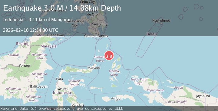
A 3.0 magnitude earthquake struck on Northern Molucca Sea, at Tue, 10 Feb 2026 12:34:30 GMT. Depth: 14.083866km. Reviewed by BMKG seismologists, this minor quake occurred at a magnitude type of M.
Magnitude
3.0
M
Source
BMKG
Intensity
-
Agency Reports
1 Sources| Source | Magnitude | Depth | Time |
|---|---|---|---|
| BMKGPrimary | 3.0 | 14 km | 1 week ago |
Earthquake Details
ManualEvent IDbmg2026cwba
Tsunami PotentialNo
Magnitude TypeM
Nearest Places
- Pulau Karis64.3 km
- Pulau Napumbalu86.6 km
- Tanjung Pallo97.5 km
- Tanjung Tatimbalangan98.2 km
- Taduwale98.6 km
Comments
Join the discussion about this event.
Latest Earthquakes
1.0Mag
29 km W of Garden City, Texas
Time4 hours ago
Depth3.03 km
SourceUSGS (Automatic)
2.1Mag
6 km NE of Beaverdam, Nevada
Time4 hours ago
Depth11.45 km
SourceUSGS (Automatic)
3.4Mag
NORTH ISLAND OF NEW ZEALAND
Time4 hours ago
Depth146.90 km
SourceGNS (Automatic)
2.6Mag
WESTERN TURKEY
Time4 hours ago
Depth7.30 km
SourceKOERI (Automatic)
3.7Mag
YUNNAN, CHINA
Time4 hours ago
Depth10.00 km
SourceTSB (Automatic)
Nearby Earthquakes
3.0Mag
MOLUCCA SEA
Time3 years ago
Depth10.00 km
SourceDJA (Automatic)
5.8Mag
MOLUCCA SEA
Time3 years ago
Depth40.00 km
SourceEMSC (Automatic)
5.7Mag
MOLUCCA SEA
Time3 years ago
Depth35.00 km
SourceEMSC (Automatic)
4.0Mag
MOLUCCA SEA
Time3 years ago
Depth17.00 km
SourceDJA (Automatic)
7.0Mag
MOLUCCA SEA
Time3 years ago
Depth35.00 km
SourceNEIC (Automatic)