Earthquake Bali Region, Indonesia
Thu, 12 Feb 2026 06:09:58 GMT
Time6 days ago
Location
-8.4448, 115.9622
Depth
10.0 KM
Event Summary
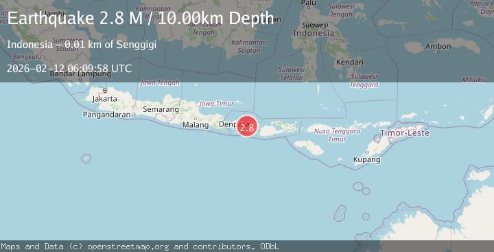
A 2.8 magnitude earthquake struck on Bali Region, Indonesia, at Thu, 12 Feb 2026 06:09:58 GMT. Depth: 10km. Reviewed by BMKG seismologists, this minor quake occurred at a magnitude type of M.
Magnitude
2.8
M
Source
BMKG
Intensity
-
Agency Reports
1 Sources| Source | Magnitude | Depth | Time |
|---|---|---|---|
| BMKGPrimary | 2.8 | 10 km | 6 days ago |
Earthquake Details
ManualEvent IDbmg2026czfi
Tsunami PotentialNo
Magnitude TypeM
Nearest Places
- Tanjung Bangle7.8 km
- Tanjung Rumbeh7.8 km
- Alang Alang Boutique Beach Resort7.9 km
- Teluk Malimbu8.0 km
- Tanjung Rumbeh8.0 km
Comments
Join the discussion about this event.
Latest Earthquakes
1.4Mag
Czech Republic
Time16 hours ago
Depth31.62 km
SourceVYT (Automatic)
2.1Mag
Southeastern Alaska
Time16 hours ago
Depth0.00 km
SourceVYT (Automatic)
1.3Mag
Southeastern Alaska
Time16 hours ago
Depth21.48 km
SourceVYT (Automatic)
1.3Mag
Western Australia
Time16 hours ago
Depth0.00 km
SourceVYT (Automatic)
2.4Mag
Northern Territory, Australia
Time16 hours ago
Depth708.13 km
SourceVYT (Automatic)
Nearby Earthquakes
3.0Mag
BALI REGION, INDONESIA
Time1 year ago
Depth19.00 km
SourceBMKG (Automatic)
4.0Mag
LOMBOK REGION, INDONESIA
Time5 years ago
Depth10.00 km
SourceDJA (Automatic)
5.1Mag
LOMBOK REGION, INDONESIA
Time1 year ago
Depth28.00 km
SourceEMSC (Automatic)
4.0Mag
LOMBOK REGION, INDONESIA
Time5 years ago
Depth10.00 km
SourceDJA (Automatic)
3.0Mag
BALI REGION, INDONESIA
Time6 years ago
Depth10.00 km
SourceDJA (Automatic)