Earthquake Near North Coast of West Papua
Thu, 12 Feb 2026 06:59:42 GMT
Time1 week ago
Location
-2.2948, 140.0657
Depth
10.0 KM
Event Summary
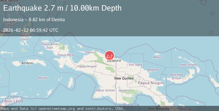
A 2.7 magnitude earthquake struck on Near North Coast of West Papua, at Thu, 12 Feb 2026 06:59:42 GMT. Depth: 10km. Reviewed by BMKG seismologists, this minor quake occurred at a magnitude type of M.
Magnitude
2.7
M
Source
BMKG
Intensity
-
Agency Reports
1 Sources| Source | Magnitude | Depth | Time |
|---|---|---|---|
| BMKGPrimary | 2.7 | 10 km | 1 week ago |
Earthquake Details
ManualEvent IDbmg2026czgz
Tsunami PotentialNo
Magnitude TypeM
Nearest Places
- Tarfia3.9 km
- Tanjung Kamadara6.2 km
- Moaif6.4 km
- Wai Humbei6.4 km
- Sungai Grime8.0 km
Comments
Join the discussion about this event.
Latest Earthquakes
1.9Mag
western Texas
Time1 minute ago
Depth0.00 km
SourceVYT (Automatic)
2.8Mag
OFFSHORE EL SALVADOR
Time3 minutes ago
Depth18.00 km
SourceINET (Automatic)
1.6Mag
Pyrenees
Time8 minutes ago
Depth0.00 km
SourceVYT (Automatic)
1.0Mag
110 km S of McCarthy, Alaska
Time9 minutes ago
Depth16.50 km
SourceUSGS (Automatic)
0.7Mag
Southern Alaska
Time16 minutes ago
Depth0.00 km
SourceVYT (Automatic)
Nearby Earthquakes
2.5Mag
NEAR N COAST OF PAPUA, INDONESIA
Time1 month ago
Depth10.00 km
SourceBMKG (Automatic)
4.0Mag
NEAR N COAST OF PAPUA, INDONESIA
Time2 years ago
Depth13.00 km
SourceBMKG (Automatic)
3.0Mag
NEAR N COAST OF PAPUA, INDONESIA
Time2 months ago
Depth15.00 km
SourceBMKG (Automatic)
2.5Mag
Near North Coast of West Papua
Time1 week ago
Depth10.00 km
SourceBMKG
3.0Mag
NEAR N COAST OF PAPUA, INDONESIA
Time1 year ago
Depth10.00 km
SourceBMKG (Automatic)