Earthquake Minahassa Peninsula, Sulawesi
Thu, 12 Feb 2026 12:13:03 GMT
Time6 days ago
Location
-0.5421, 123.6114
Depth
5.0 KM
Event Summary
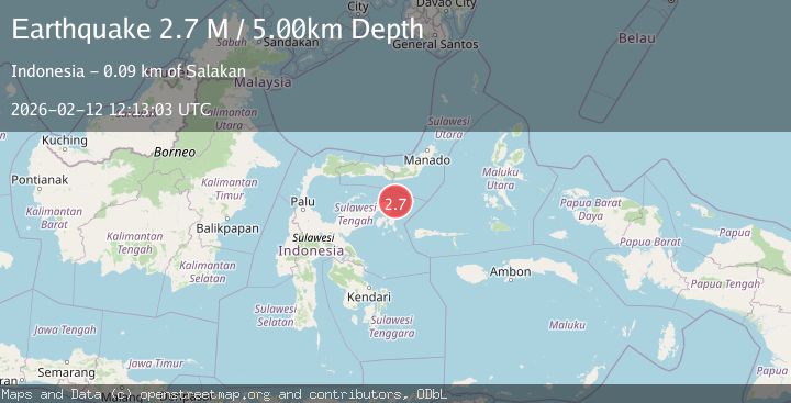
A 2.7 magnitude earthquake struck on Minahassa Peninsula, Sulawesi, at Thu, 12 Feb 2026 12:13:03 GMT. Depth: 5km. Reviewed by BMKG seismologists, this minor quake occurred at a magnitude type of M.
Magnitude
2.7
M
Source
BMKG
Intensity
-
Agency Reports
1 Sources| Source | Magnitude | Depth | Time |
|---|---|---|---|
| BMKGPrimary | 2.7 | 5 km | 6 days ago |
Earthquake Details
ManualEvent IDbmg2026czri
Tsunami PotentialNo
Magnitude TypeM
Nearest Places
- Tanjung Lonsuit25.6 km
- Tanjung Ui26.6 km
- Tanjung Ui26.6 km
- Tanjung Lonsom26.7 km
- Teluk Pangkalaseang27.0 km
Comments
Join the discussion about this event.
Latest Earthquakes
2.3Mag
northwestern Russia
Time3 minutes ago
Depth0.00 km
SourceVYT (Automatic)
1.1Mag
7 km WSW of Corona, CA
Time4 minutes ago
Depth22.23 km
SourceUSGS (Automatic)
1.6Mag
60 km S of Whites City, New Mexico
Time5 minutes ago
Depth4.19 km
SourceUSGS (Automatic)
2.3Mag
Poland
Time10 minutes ago
Depth0.00 km
SourceVYT (Automatic)
2.5Mag
FRANCE
Time10 minutes ago
Depth5.00 km
SourceReNaSS (Automatic)
Nearby Earthquakes
5.0Mag
SULAWESI, INDONESIA
Time4 years ago
Depth10.00 km
SourceEMSC (Automatic)
3.1Mag
Minahassa Peninsula, Sulawesi
Time2 weeks ago
Depth100.51 km
SourceBMKG (Automatic)
2.7Mag
SULAWESI, INDONESIA
Time1 month ago
Depth15.00 km
SourceBMKG (Automatic)
3.0Mag
SULAWESI, INDONESIA
Time2 years ago
Depth10.00 km
SourceBMKG (Automatic)
3.0Mag
SULAWESI, INDONESIA
Time3 years ago
Depth10.00 km
SourceDJA (Automatic)