Earthquake Northern Molucca Sea
Thu, 12 Feb 2026 12:59:23 GMT
Time6 days ago
Location
1.3160, 125.8263
Depth
30.9 KM
Event Summary
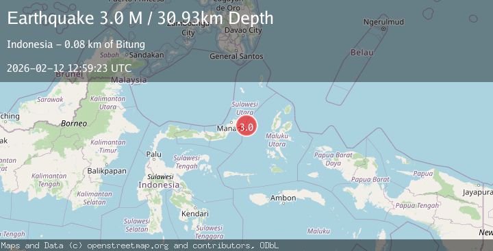
A 3.0 magnitude earthquake struck on Northern Molucca Sea, at Thu, 12 Feb 2026 12:59:23 GMT. Depth: 30.929789km. Reviewed by BMKG seismologists, this minor quake occurred at a magnitude type of M.
Magnitude
3.0
M
Source
BMKG
Intensity
-
Agency Reports
1 Sources| Source | Magnitude | Depth | Time |
|---|---|---|---|
| BMKGPrimary | 3.0 | 31 km | 6 days ago |
Earthquake Details
ManualEvent IDbmg2026czsv
Tsunami PotentialNo
Magnitude TypeM
Nearest Places
- Kelurahan Pantai Sagu51.0 km
- Pulau Gureda51.1 km
- Pulau Tifore51.7 km
- Kelurahan Tifure52.4 km
- Kelurahan Perum Bersatu59.1 km
Comments
Join the discussion about this event.
Latest Earthquakes
2.9Mag
Antofagasta, Chile
Time4 minutes ago
Depth109.25 km
SourceVYT (Automatic)
1.9Mag
Andreanof Islands, Aleutian Islands, Alaska
Time5 minutes ago
Depth0.85 km
SourceVYT (Automatic)
0.9Mag
Washington
Time7 minutes ago
Depth0.00 km
SourceVYT (Automatic)
2.7Mag
western Texas
Time10 minutes ago
Depth1.34 km
SourceVYT (Automatic)
2.7Mag
Fox Islands, Aleutian Islands, Alaska
Time13 minutes ago
Depth18.07 km
SourceVYT (Automatic)
Nearby Earthquakes
2.9Mag
MOLUCCA SEA
Time1 month ago
Depth9.00 km
SourceBMKG (Automatic)
5.1Mag
MOLUCCA SEA
Time2 years ago
Depth80.00 km
SourceEMSC (Automatic)
3.8Mag
MOLUCCA SEA
Time1 week ago
Depth4.00 km
SourceBMKG (Automatic)
5.0Mag
MOLUCCA SEA
Time2 months ago
Depth84.90 km
SourceEMSC (Automatic)
5.8Mag
MOLUCCA SEA
Time9 years ago
Depth80.00 km
SourceEMSC (Automatic)