Earthquake West Papua Region, Indonesia
Thu, 12 Feb 2026 18:13:09 GMT
Time6 days ago
Location
-3.4642, 135.5904
Depth
37.1 KM
Event Summary
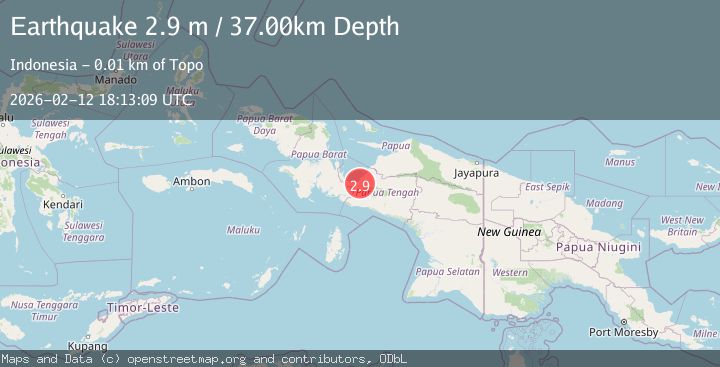
A 2.9 magnitude earthquake struck on West Papua Region, Indonesia, at Thu, 12 Feb 2026 18:13:09 GMT. Depth: 37.105221km. Reviewed by BMKG seismologists, this minor quake occurred at a magnitude type of M.
Magnitude
2.9
M
Source
BMKG
Intensity
-
Agency Reports
1 Sources| Source | Magnitude | Depth | Time |
|---|---|---|---|
| BMKGPrimary | 2.9 | 37 km | 6 days ago |
Earthquake Details
ManualEvent IDbmg2026dadg
Tsunami PotentialNo
Magnitude TypeM
Nearest Places
- Kampung Topo4.6 km
- Kampung Argo Mulyo4.8 km
- Kampung Marga Jaya5.3 km
- Kampung Topo Jaya5.4 km
- Distrik Uwapa6.3 km
Comments
Join the discussion about this event.
Latest Earthquakes
2.9Mag
Southern Molucca Sea
Time12 hours ago
Depth170.58 km
SourceBMKG
3.2Mag
northern Colombia
Time12 hours ago
Depth140.50 km
SourceVYT (Automatic)
4.4Mag
Tarapaca, Chile
Time12 hours ago
Depth47.00 km
SourceVYT (Automatic)
1.3Mag
19 km NNW of Borrego Springs, CA
Time12 hours ago
Depth9.65 km
SourceUSGS (Automatic)
2.0Mag
Sweden
Time12 hours ago
Depth10.00 km
SourceVYT (Automatic)
Nearby Earthquakes
3.0Mag
PAPUA, INDONESIA
Time1 month ago
Depth15.00 km
SourceBMKG (Automatic)
3.7Mag
PAPUA, INDONESIA
Time1 month ago
Depth39.00 km
SourceBMKG (Automatic)
3.2Mag
PAPUA, INDONESIA
Time1 month ago
Depth20.00 km
SourceBMKG (Automatic)
5.2Mag
PAPUA, INDONESIA
Time21 years ago
Depth2.00 km
SourceEMSC (Automatic)
3.0Mag
PAPUA, INDONESIA
Time9 months ago
Depth26.00 km
SourceBMKG (Automatic)