Earthquake Halmahera, Indonesia
Thu, 12 Feb 2026 20:31:56 GMT
Time6 days ago
Location
1.5752, 127.2096
Depth
121.6 KM
Event Summary
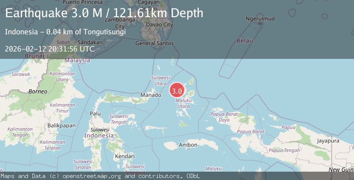
A 3.0 magnitude earthquake struck on Halmahera, Indonesia, at Thu, 12 Feb 2026 20:31:56 GMT. Depth: 121.610237km. Reviewed by BMKG seismologists, this minor quake occurred at a magnitude type of M.
Magnitude
3.0
M
Source
BMKG
Intensity
-
Agency Reports
1 Sources| Source | Magnitude | Depth | Time |
|---|---|---|---|
| BMKGPrimary | 3.0 | 122 km | 6 days ago |
Earthquake Details
ManualEvent IDbmg2026daht
Tsunami PotentialNo
Magnitude TypeM
Nearest Places
- Nyi15.5 km
- Nusa Nyaolaka31.5 km
- Nusa Sidanga32.2 km
- Nusa Sosota32.7 km
- Tanjung Liguamadehe33.5 km
Comments
Join the discussion about this event.
Latest Earthquakes
3.9Mag
Halmahera, Indonesia
Time2 minutes ago
Depth161.01 km
SourceVYT (Automatic)
1.0Mag
3 km W of Cobb, CA
Time4 minutes ago
Depth2.45 km
SourceUSGS (Automatic)
3.1Mag
SPAIN
Time7 minutes ago
Depth5.00 km
SourceIGN (Automatic)
2.3Mag
Tarapaca, Chile
Time8 minutes ago
Depth115.60 km
SourceVYT (Automatic)
1.2Mag
19 km NNE of Indio, CA
Time11 minutes ago
Depth4.86 km
SourceUSGS (Automatic)
Nearby Earthquakes
2.5Mag
Halmahera, Indonesia
Time4 days ago
Depth124.83 km
SourceBMKG
3.1Mag
Halmahera, Indonesia
Time2 weeks ago
Depth122.31 km
SourceBMKG (Automatic)
5.4Mag
HALMAHERA, INDONESIA
Time3 months ago
Depth130.00 km
SourceEMSC (Automatic)
3.0Mag
HALMAHERA, INDONESIA
Time3 years ago
Depth119.00 km
SourceDJA (Automatic)
4.0Mag
HALMAHERA, INDONESIA
Time4 years ago
Depth132.00 km
SourceNEIC (Automatic)