Earthquake West Papua, Indonesia
Thu, 12 Feb 2026 23:32:04 GMT
Time5 days ago
Location
-3.1390, 139.2012
Depth
30.8 KM
Event Summary
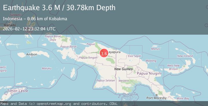
A 3.6 magnitude earthquake struck on West Papua, Indonesia, at Thu, 12 Feb 2026 23:32:04 GMT. Depth: 30.780188km. Reviewed by BMKG seismologists, this minor quake occurred at a magnitude type of M.
Magnitude
3.6
M
Source
BMKG
Intensity
-
Agency Reports
1 Sources| Source | Magnitude | Depth | Time |
|---|---|---|---|
| BMKGPrimary | 3.6 | 31 km | 5 days ago |
Earthquake Details
ManualEvent IDbmg2026dans
Tsunami PotentialNo
Magnitude TypeM
Nearest Places
- Kampung Ansudu Dua6.3 km
- Kampung Sunum21.3 km
- Kampung Krim Podena28.1 km
- Kampung Fuao31.5 km
- Bernhard Camp32.5 km
Comments
Join the discussion about this event.
Latest Earthquakes
1.6Mag
Kenai Peninsula, Alaska
Time2 hours ago
Depth42.60 km
SourceVYT (Automatic)
2.4Mag
Finland
Time2 hours ago
Depth301.88 km
SourceVYT (Automatic)
1.2Mag
Alaska Peninsula
Time2 hours ago
Depth0.12 km
SourceVYT (Automatic)
2.6Mag
SAN JUAN, ARGENTINA
Time2 hours ago
Depth92.00 km
SourceNSNA (Automatic)
4.1Mag
NEAR COAST OF NORTHERN PERU
Time2 hours ago
Depth35.00 km
SourceLIM (Automatic)
Nearby Earthquakes
3.0Mag
PAPUA, INDONESIA
Time4 months ago
Depth140.00 km
SourceBMKG (Automatic)
5.5Mag
PAPUA, INDONESIA
Time14 years ago
Depth42.00 km
SourceEMSC (Automatic)
3.5Mag
PAPUA, INDONESIA
Time1 month ago
Depth19.00 km
SourceBMKG (Automatic)
5.3Mag
PAPUA, INDONESIA
Time1 year ago
Depth46.00 km
SourceEMSC (Automatic)
6.3Mag
PAPUA, INDONESIA
Time2 years ago
Depth32.80 km
SourceEMSC (Automatic)