Earthquake Seram, Indonesia
Fri, 13 Feb 2026 02:00:24 GMT
Time6 days ago
Location
-3.0666, 130.6604
Depth
10.0 KM
Event Summary
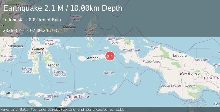
A 2.1 magnitude earthquake struck on Seram, Indonesia, at Fri, 13 Feb 2026 02:00:24 GMT. Depth: 10km. Reviewed by BMKG seismologists, this minor quake occurred at a magnitude type of M.
Magnitude
2.1
M
Source
BMKG
Intensity
-
Agency Reports
1 Sources| Source | Magnitude | Depth | Time |
|---|---|---|---|
| BMKGPrimary | 2.1 | 10 km | 6 days ago |
Earthquake Details
ManualEvent IDbmg2026dasp
Tsunami PotentialNo
Magnitude TypeM
Nearest Places
- Wae Bolifa11.6 km
- Tanjung Bolifar11.6 km
- Tanjung Nanatimor12.7 km
- Desa Limumir13.6 km
- Wae Solas13.6 km
Comments
Join the discussion about this event.
Latest Earthquakes
1.7Mag
Central Alaska
Time5 minutes ago
Depth86.30 km
SourceVYT (Automatic)
4.6Mag
Tarapaca, Chile
Time8 minutes ago
Depth111.45 km
SourceVYT (Automatic)
2.4Mag
Tarapaca, Chile
Time20 minutes ago
Depth0.00 km
SourceVYT (Automatic)
0.8Mag
4 km NW of The Geysers, CA
Time24 minutes ago
Depth3.24 km
SourceUSGS (Automatic)
1.8Mag
Tarapaca, Chile
Time24 minutes ago
Depth0.00 km
SourceVYT (Automatic)
Nearby Earthquakes
3.0Mag
SERAM, INDONESIA
Time2 years ago
Depth10.00 km
SourceBMKG (Automatic)
3.0Mag
SERAM, INDONESIA
Time5 years ago
Depth10.00 km
SourceDJA (Automatic)
4.0Mag
SERAM, INDONESIA
Time0 years ago
Depth10.00 km
SourceBMKG (Automatic)
5.2Mag
SERAM, INDONESIA
Time7 years ago
Depth26.00 km
SourceNEIC (Automatic)
3.0Mag
SERAM, INDONESIA
Time3 years ago
Depth10.00 km
SourceDJA (Automatic)