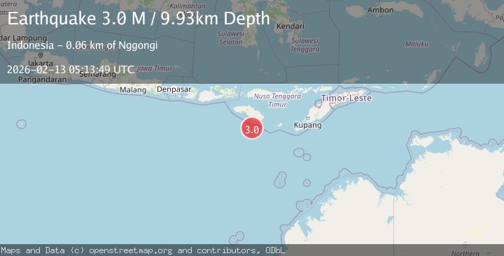
Earthquake Sumba Region, Indonesia
Fri, 13 Feb 2026 05:13:49 GMT
Time5 days ago
Location
-10.7357, 120.1418
Depth
9.9 KM
Event Summary
A 3.0 magnitude earthquake struck on Sumba Region, Indonesia, at Fri, 13 Feb 2026 05:13:49 GMT. Depth: 9.925555km. Reviewed by BMKG seismologists, this minor quake occurred at a magnitude type of M.
Magnitude
3.0
M
Source
BMKG
Intensity
-
Agency Reports
1 Sources| Source | Magnitude | Depth | Time |
|---|---|---|---|
| BMKGPrimary | 3.0 | 10 km | 5 days ago |
Earthquake Details
ManualEvent IDbmg2026dayz
Tsunami PotentialNo
Magnitude TypeM
Nearest Places
- Pulau Mangudu45.1 km
- Desa Praisalura46.9 km
- Pulau Salura47.1 km
- Pulau Koatak50.4 km
- Tanjung Kahangaai54.6 km
Comments
Join the discussion about this event.
Latest Earthquakes
2.4Mag
Finland-Russia border region
Time11 hours ago
Depth341.92 km
SourceVYT (Automatic)
0.9Mag
8 km W of Cobb, CA
Time11 hours ago
Depth1.53 km
SourceUSGS (Automatic)
1.8Mag
Central Alaska
Time11 hours ago
Depth2.08 km
SourceVYT (Automatic)
2.9Mag
WESTERN TURKEY
Time11 hours ago
Depth11.80 km
SourceKOERI (Automatic)
2.8Mag
Sulawesi, Indonesia
Time11 hours ago
Depth21.08 km
SourceBMKG
Nearby Earthquakes
2.8Mag
Sumba Region, Indonesia
Time3 weeks ago
Depth10.00 km
SourceBMKG (Automatic)
2.9Mag
Sumba Region, Indonesia
Time5 days ago
Depth6.15 km
SourceBMKG
5.0Mag
SUMBA REGION, INDONESIA
Time7 years ago
Depth10.00 km
SourceEMSC (Automatic)
5.6Mag
SUMBA REGION, INDONESIA
Time7 years ago
Depth10.00 km
SourceEMSC (Automatic)
6.0Mag
SUMBA REGION, INDONESIA
Time7 years ago
Depth10.00 km
SourceEMSC (Automatic)