Earthquake Minahassa Peninsula, Sulawesi
Fri, 13 Feb 2026 11:36:20 GMT
Time5 days ago
Location
0.6327, 123.9078
Depth
257.0 KM
Event Summary
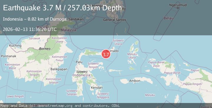
A 3.7 magnitude earthquake struck on Minahassa Peninsula, Sulawesi, at Fri, 13 Feb 2026 11:36:20 GMT. Depth: 257.025818km. Reviewed by BMKG seismologists, this minor quake occurred at a magnitude type of M.
Magnitude
3.7
M
Source
BMKG
Intensity
-
Agency Reports
1 Sources| Source | Magnitude | Depth | Time |
|---|---|---|---|
| BMKGPrimary | 3.7 | 257 km | 5 days ago |
Earthquake Details
ManualEvent IDbmg2026dblp
Tsunami PotentialNo
Magnitude TypeM
Nearest Places
- Desa Mopugad Utara Satu1.0 km
- Bulud Oito1.9 km
- Bulud Boneiloi3.0 km
- Pegunungan Buludawa3.3 km
- Bulud Mopugad3.8 km
Comments
Join the discussion about this event.
Latest Earthquakes
2.2Mag
Tarapaca, Chile
Time5 minutes ago
Depth111.94 km
SourceVYT (Automatic)
1.9Mag
Central Alaska
Time6 minutes ago
Depth32.10 km
SourceVYT (Automatic)
3.4Mag
HAWAII REGION, HAWAII
Time6 minutes ago
Depth4.70 km
SourceHV (Automatic)
1.9Mag
STRAIT OF GIBRALTAR
Time10 minutes ago
Depth0.00 km
SourceIGN (Automatic)
3.2Mag
Flores region, Indonesia
Time20 minutes ago
Depth20.02 km
SourceVYT (Automatic)
Nearby Earthquakes
3.0Mag
MINAHASA, SULAWESI, INDONESIA
Time11 months ago
Depth256.00 km
SourceBMKG (Automatic)
5.0Mag
MINAHASA, SULAWESI, INDONESIA
Time12 years ago
Depth215.00 km
SourceEMSC (Automatic)
3.6Mag
MINAHASA, SULAWESI, INDONESIA
Time1 month ago
Depth243.00 km
SourceBMKG (Automatic)
3.0Mag
Minahasa, Sulawesi, Indonesia
Time5 hours ago
Depth288.45 km
SourceVYT (Automatic)
4.0Mag
MINAHASA, SULAWESI, INDONESIA
Time5 years ago
Depth253.00 km
SourceNEIC (Automatic)