Earthquake Southern Sumatra, Indonesia
Fri, 13 Feb 2026 12:18:48 GMT
Time6 days ago
Location
-2.9666, 101.4893
Depth
32.9 KM
Event Summary
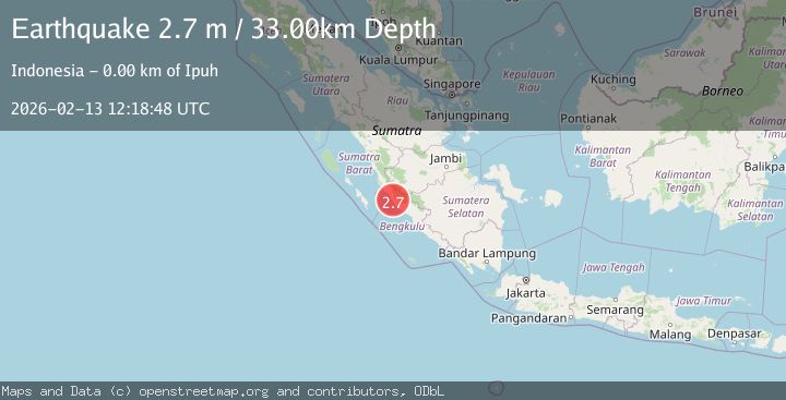
A 2.7 magnitude earthquake struck on Southern Sumatra, Indonesia, at Fri, 13 Feb 2026 12:18:48 GMT. Depth: 32.929901km. Reviewed by BMKG seismologists, this minor quake occurred at a magnitude type of M.
Magnitude
2.7
M
Source
BMKG
Intensity
-
Agency Reports
1 Sources| Source | Magnitude | Depth | Time |
|---|---|---|---|
| BMKGPrimary | 2.7 | 33 km | 6 days ago |
Earthquake Details
ManualEvent IDbmg2026dbna
Tsunami PotentialNo
Magnitude TypeM
Nearest Places
- Desa Manunggal Jaya2.5 km
- Desa Tanjung Medan2.5 km
- Air Gelaga3.0 km
- Desa Pulai Payung3.0 km
- Kecamatan Ipuh3.5 km
Comments
Join the discussion about this event.
Latest Earthquakes
2.6Mag
Antofagasta, Chile
Time1 minute ago
Depth84.84 km
SourceVYT (Automatic)
2.6Mag
Antofagasta, Chile
Time5 minutes ago
Depth155.15 km
SourceVYT (Automatic)
1.8Mag
western Texas
Time6 minutes ago
Depth10.50 km
SourceVYT (Automatic)
3.3Mag
CRETE, GREECE
Time7 minutes ago
Depth10.00 km
SourceNOA (Automatic)
3.3Mag
offshore Valparaiso, Chile
Time19 minutes ago
Depth36.50 km
SourceVYT (Automatic)
Nearby Earthquakes
4.0Mag
SOUTHERN SUMATRA, INDONESIA
Time2 years ago
Depth10.00 km
SourceBMKG (Automatic)
5.9Mag
SOUTHERN SUMATRA, INDONESIA
Time18 years ago
Depth40.00 km
SourceEMSC (Automatic)
5.1Mag
SOUTHERN SUMATRA, INDONESIA
Time18 years ago
Depth33.00 km
SourceEMSC (Automatic)
6.2Mag
SOUTHERN SUMATRA, INDONESIA
Time18 years ago
Depth10.00 km
SourceEMSC (Automatic)
5.0Mag
SOUTHERN SUMATRA, INDONESIA
Time9 years ago
Depth100.00 km
SourceEMSC (Automatic)