Earthquake Northern Molucca Sea
Fri, 13 Feb 2026 13:44:34 GMT
Time5 days ago
Location
0.3883, 126.3502
Depth
70.1 KM
Event Summary
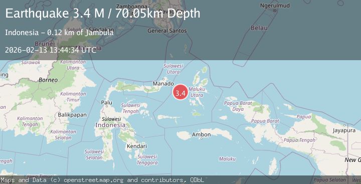
A 3.4 magnitude earthquake struck on Northern Molucca Sea, at Fri, 13 Feb 2026 13:44:34 GMT. Depth: 70.05381km. Reviewed by BMKG seismologists, this minor quake occurred at a magnitude type of M.
Magnitude
3.4
M
Source
BMKG
Intensity
-
Agency Reports
1 Sources| Source | Magnitude | Depth | Time |
|---|---|---|---|
| BMKGPrimary | 3.4 | 70 km | 5 days ago |
Earthquake Details
ManualEvent IDbmg2026dbpv
Tsunami PotentialNo
Magnitude TypeM
Nearest Places
- Ternate Trough37.3 km
- Maluku Sea40.9 km
- Terumbugara65.6 km
- Kelurahan Tifure68.4 km
- Pulau Tifore69.1 km
Comments
Join the discussion about this event.
Latest Earthquakes
2.5Mag
northwestern Russia
Time4 minutes ago
Depth0.00 km
SourceVYT (Automatic)
1.8Mag
54 km S of Whites City, New Mexico
Time6 minutes ago
Depth6.07 km
SourceUSGS (Automatic)
2.0Mag
Arizona
Time9 minutes ago
Depth8.18 km
SourceVYT (Automatic)
2.9Mag
Bosnia and Herzegovina
Time12 minutes ago
Depth268.68 km
SourceVYT (Automatic)
2.5Mag
COSTA RICA
Time13 minutes ago
Depth47.00 km
SourceINET (Automatic)
Nearby Earthquakes
3.0Mag
MOLUCCA SEA
Time4 years ago
Depth13.00 km
SourceDJA (Automatic)
5.1Mag
MOLUCCA SEA
Time11 years ago
Depth12.00 km
SourceEMSC (Automatic)
6.1Mag
MOLUCCA SEA
Time4 years ago
Depth10.00 km
SourceEMSC (Automatic)
3.0Mag
MOLUCCA SEA
Time4 years ago
Depth32.00 km
SourceDJA (Automatic)
4.0Mag
MOLUCCA SEA
Time5 years ago
Depth10.00 km
SourceDJA (Automatic)